Next generation plant health surveys
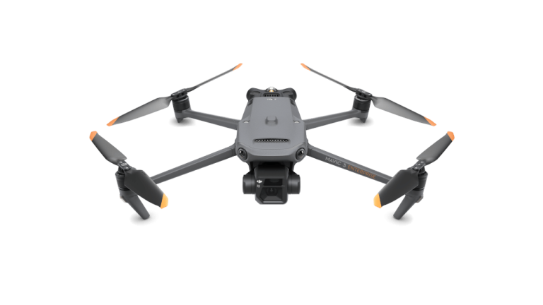
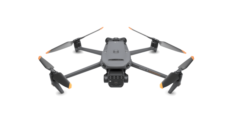
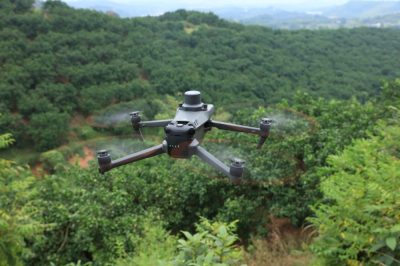
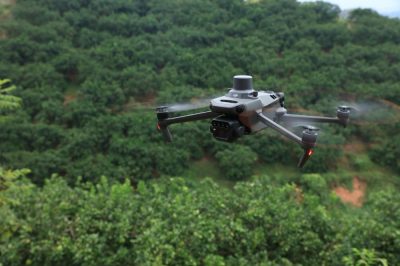
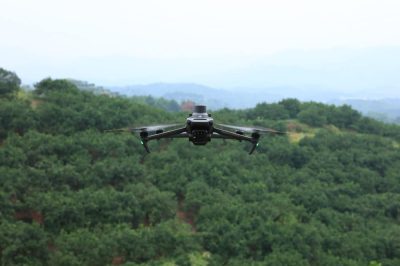
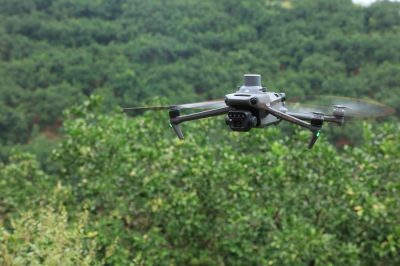
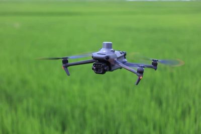
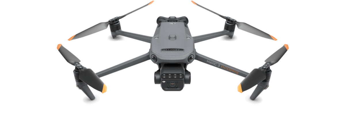
DJI Mavic 3 Multispectral drone
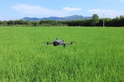
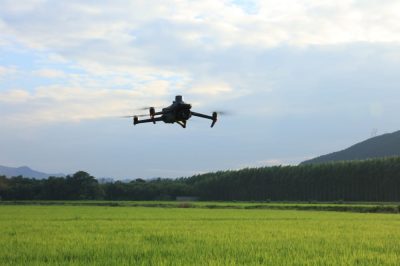
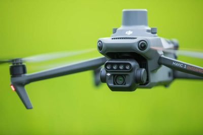
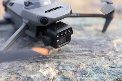
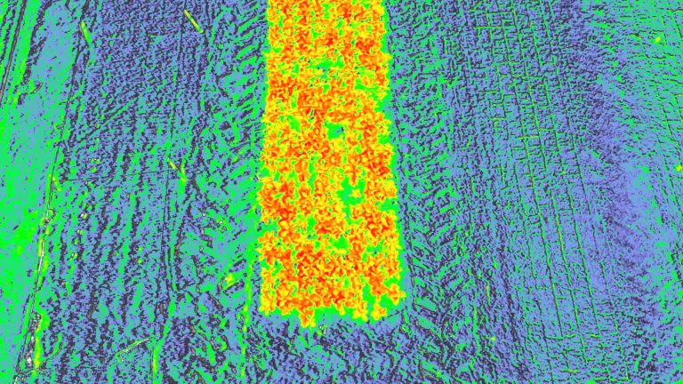
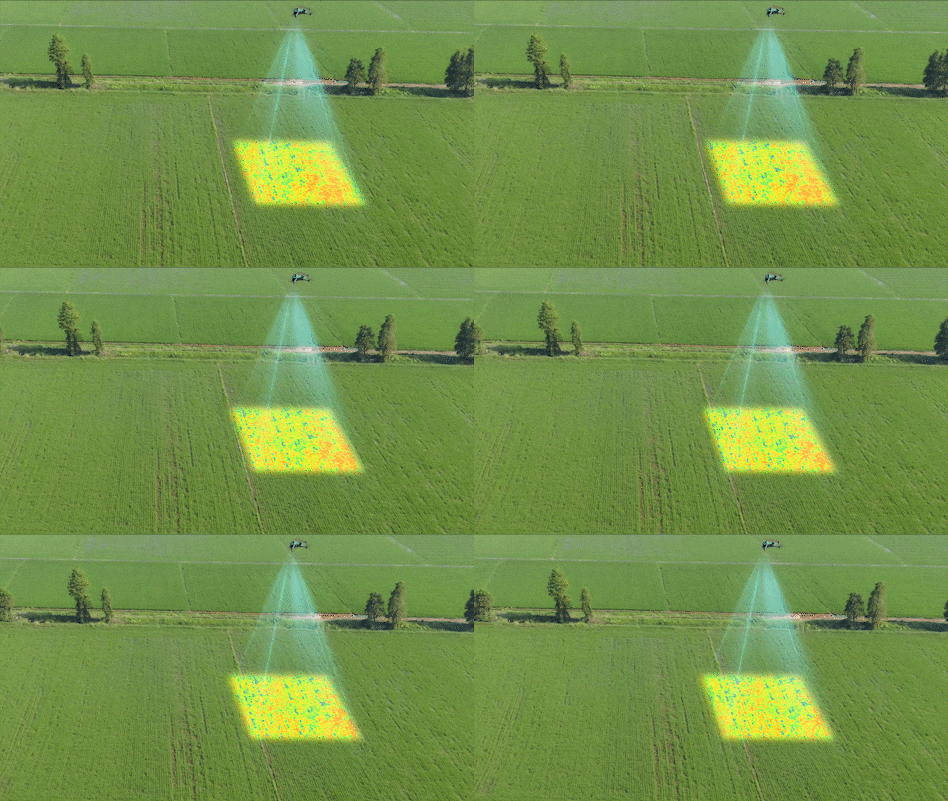
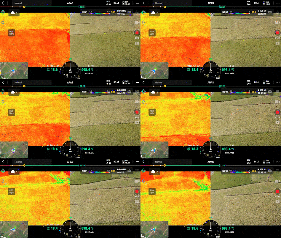
For an effective aerial survey, you need to see things that are invisible to the naked eye. That’s why the all-new Mavic 3 Multispectral is equipped with two different visualization systems: the drone combines a high-resolution RGB camera with a four-lens multispectral camera to give you a complete picture of your farm and to analyses the health and growth of your vegetation. The mapped maps can help you save time, fertilizer, sprays, manpower and fuel, while increasing your farm’s yields and income.
4×5MP
Multispectral imaging
Live
NDVI view
DJI O3 Enterprise signal
transmission system
Compact
and portable
4/3" wide angle of view
CMOS camera
Centimeter level
positioning with RTK
Why choose the DJI Mavic 3 Multispectral survey and monitoring drone?
DJI Mavic 3M drone
Benefits and Features
Precise multispectral imaging
- The built-in stabilized imaging system collects comprehensive data sets
- Collect data invisible to the human eye and make it meaningful: captures green, red, bright red and near infrared bands - 5 MP with 3-axis stabilizer
- Integrated spectral sunlight sensor at the top of the drone detects solar irradiance to maximize the accuracy and consistency of data collection at different times of day.
- Lenses undergo a strict calibration process for unmatched accuracy.
- Parameters are saved in the image metadata to facilitate software post-processing
High-quality detail-rich visual media
- In addition to the multispectral camera system, there is also an RGB camera
- Wide-angle camera, 4/3 CMOS, 20 megapixel sensor with mechanical shutter to prevent motion blur and supports fast 0.7 second interval shooting
- The wide-angle camera has large 3.3μm pixels, which, together with the intelligent low-light mode, provide significantly better performance in dim conditions.
- The wide-angle camera has a mechanical shutter with a maximum speed of up to 1/2000
- Adjustable video resolution: up to 4K 3840×2160px 30fps
Long-range and extremely accurate aerial photography
- Up to 43 minutes flight time
- Capable of surveying up to 200 hectares per flight in ideal weather conditions and from a suitable altitude
- Advanced RTH automatically plans the optimal route home.
- The drone comes with RTK module for centimeter-level positioning accuracy.
- Able to conduct accurate surveys without the use of ground control points
- DJI O3 Enterprise live image transmission system: full HD 1080p video transmission up to 15km (max. 8km in CE region)
- 2.4/5GHz real-time auto-switching for more stable live connection
- Low signal latency for smoother routing and live video
Maximum portability and agility
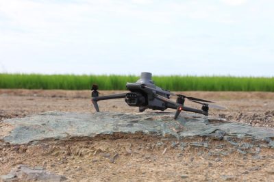
- It folds easily and fits into a typical bag, weighs only 951 grams, and can be used "anytime, anywhere."
- Set up time is less than a minute.
- Up to 75 km/h in sport mode, with improved quick ascent and descent speeds
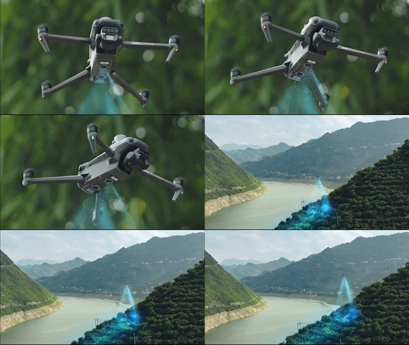
- Omni-directional obstacle detection makes it simple to navigate environments with obstacles.
- Infrared sensor at the bottom of the aircraft provides additional assistance for accident-free flying
- 5000 mAh intelligent lithium polymer battery
- You can charge the batteries using the 100 W charging center or directly on the drone with 88 W fast charging.
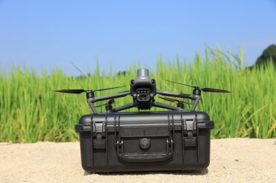
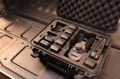
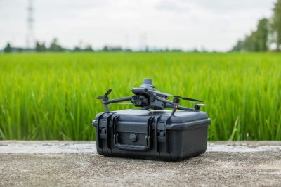
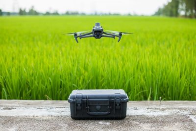
- Can be safely transported in a hard-shell, impact-resistant case
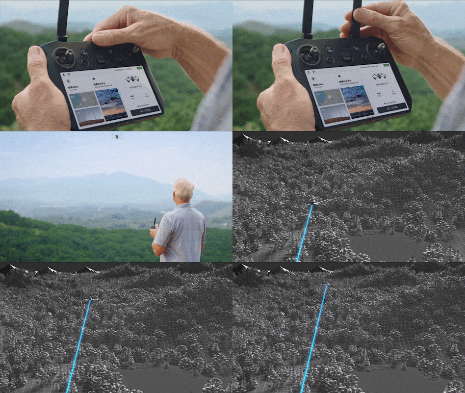
- The drone supports DJI Terra and DJI SmartFarm Platforms to reconstruct high-resolution maps, count and identify crops, create three-dimensional flight paths and make flight operations safer
DJI Mavic 3 Multispectral and drone and its accessories
DJI Mavic 3 Multispectral drone - Price
The DJI Mavic 3 Multispectral drone can help agricultural professionals at any time of the year by providing information that’s invisible to the naked eye.
With the vegetation index data derived from this (such as NDRE and NDVI), farmers can make informed, up-to-date decisions to manage crops more efficiently, reduce costs, save resources, and maximize yields.
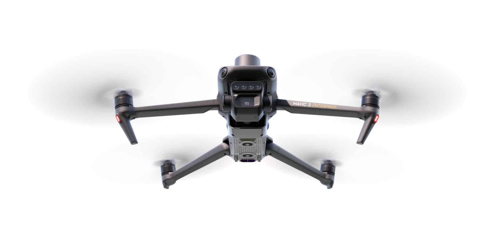
DJI Mavic 3 Multispectral
- DJI Mavic 3 Multispectral drone (with RTK module and SD card)
- Remote control
- Propeller (pair)
- Charger
- Power cable
- USB-C cable
- USB-C to USB-C cable
- Carrying case
More you might be interested in about the DJI Mavic 3 Multispectral drone
DJI Mavic 3M - Featured specifications
| Number of rotors | 4 |
|---|---|
| Wide-angle Camera Sensor | 4/3 CMOS, 20 MP, FOV: 84°, 24 mm, f/2.8-f/11m, focus: 1 m to ∞ |
| Wide-angle camera ISO ranges | 100-6400 |
| Wide-angle camera shutter speed | Electronic shutter: 8-1/8000 s, Mechanical shutter: 8-1/2000 s |
| Wide-angle camera max. image resolution: | 5280×3956px |
| Wide-angle camera Max. video resolution | 4K: 3840×2160@30fps, 1920×1080@30fps - H.264 |
| Wide Angle Camera Max video bitrate: | 130 Mbps, FHD: 70 Mbps |
| Multispectral camera sensor | 4pcs 1/2.8-inch CMOS, 5 MP sensor |
| Multispectral camera lenses | FOV: 73.91° (61.2° x 48.10°), 25 mm, f/2.0, fixed focus |
| Multispectral camera ranges | (G): 560 ± 16 nm; (R): 650 ± 16 nm; (RE): 730 ± 16 nm; (NIR): 860 ± 26 nm; |
| Multispectral camera shutter speed | Electronic shutter: 1/30~1/12800 s |
| Multispectral camera max. image resolution: | 2592×1944 px |
| Multispectral camera max. video resolution | H.264 FHD: 1920 x 1080@30fps (NDVI/GNDVI/NDRE), 60 Mbps bitrate |
| Telephoto camera Max video bitrate: | DJI Mavic 3E: 4K: 130 Mbps, FHD: 70 Mbps, DJI Mavic 3T: 4K: 85 Mbps, FHD: 30 Mbps |
| Dimensions when open | 347.5×283×139.6 mm |
| Dimensions when folded | 223×96.3×122.2 mm |
| Weight (including propeller and RTK module) | 951 g |
| Battery | 5000 mAh, LiPo 4S, 77 Wh, 335.5 g |
| Maximum take-off weight | 1,050 g |
| Navigation | GPS+Galileo+BeiDou+GLONASS (GLONASS only active when RTK module is enabled) |
| Max. flight time | 43 minutes (calm), 32 minutes (hover - calm) |
| Max. flight speed | 54 km/h (normal mode), 75,6 km/h (sport mode) |
| Max. climb speed | 21,6 km/h - 28,8 km/h, Descent speed: 21,6 km/h |
| Max. wind resistance | 43.2 km/h |
| Remote control type | DJI RC Pro Enterprise |
| Live image transmission technology | DJI O3 Enterprise |
| Operating frequency | 2.400-2.4835 GHz, 5.725-5.850 GHz |
| Maximum flight range | Up to 15 km (FCC) , 8 km (CE) |
| Maximum climb altitude (from sea level) | 6000 m (without payload) |
| Operating temperature | -10 °C - 40 °C |
| Engine type | 2008 |
| Propeller type | DJI 9453F Propellers for Enterprise |
| Obstacle avoidance | Omnidirectional binocular vision system with infrared sensor on the bottom of the aircraft |
| Supported apps | DJI Pilot 2 (Android), DJI Terra, DJI SmartFarm Platform |
