

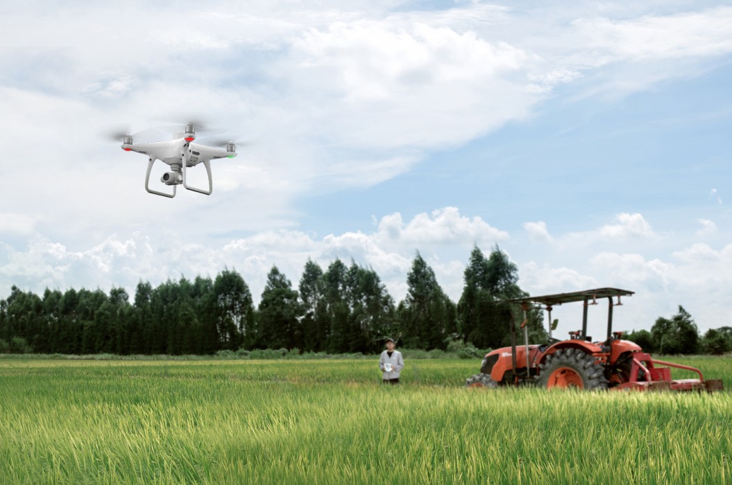
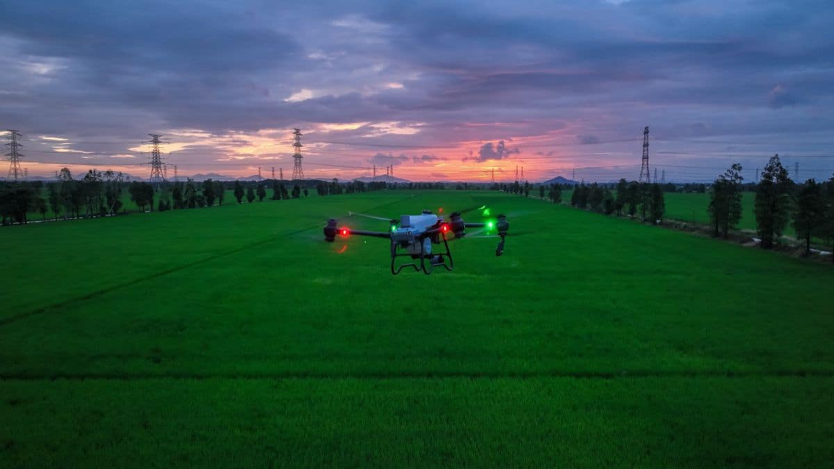
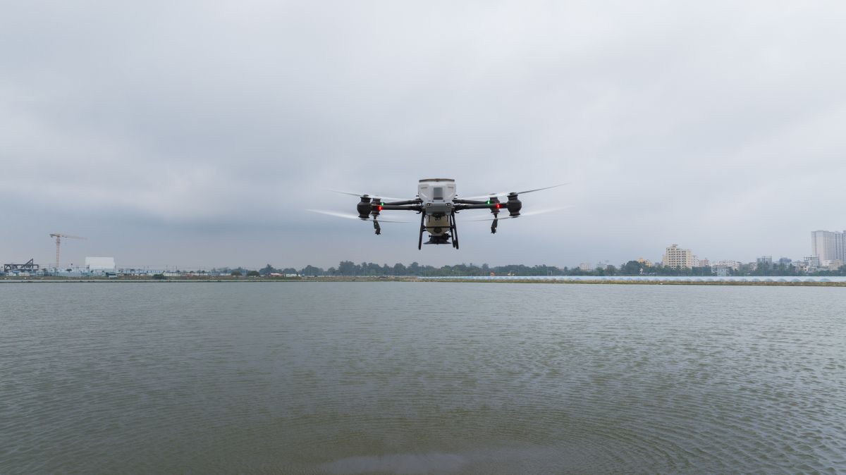
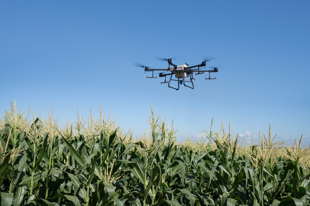
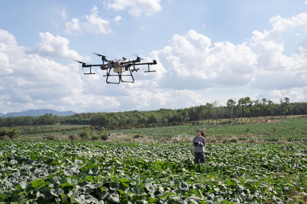
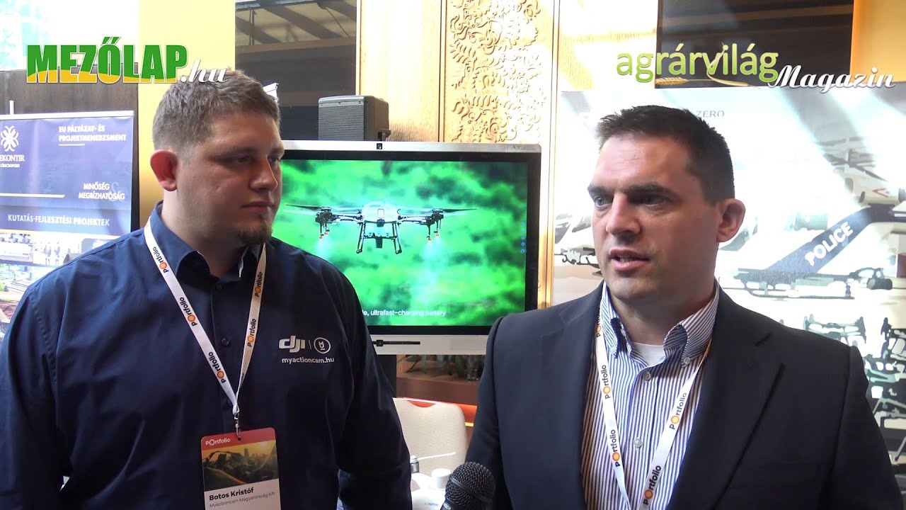
Drones in Agriculture
DJI Agricultural Drone Solutions
Benefits of Agricultural Drones
Why Should You Use an Agricultural Drone?
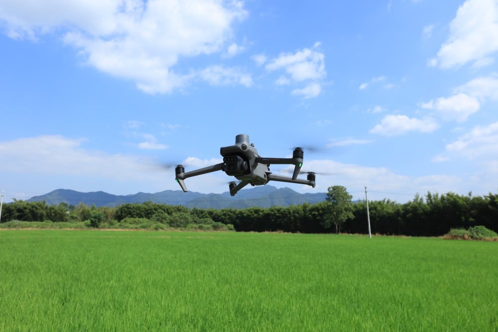
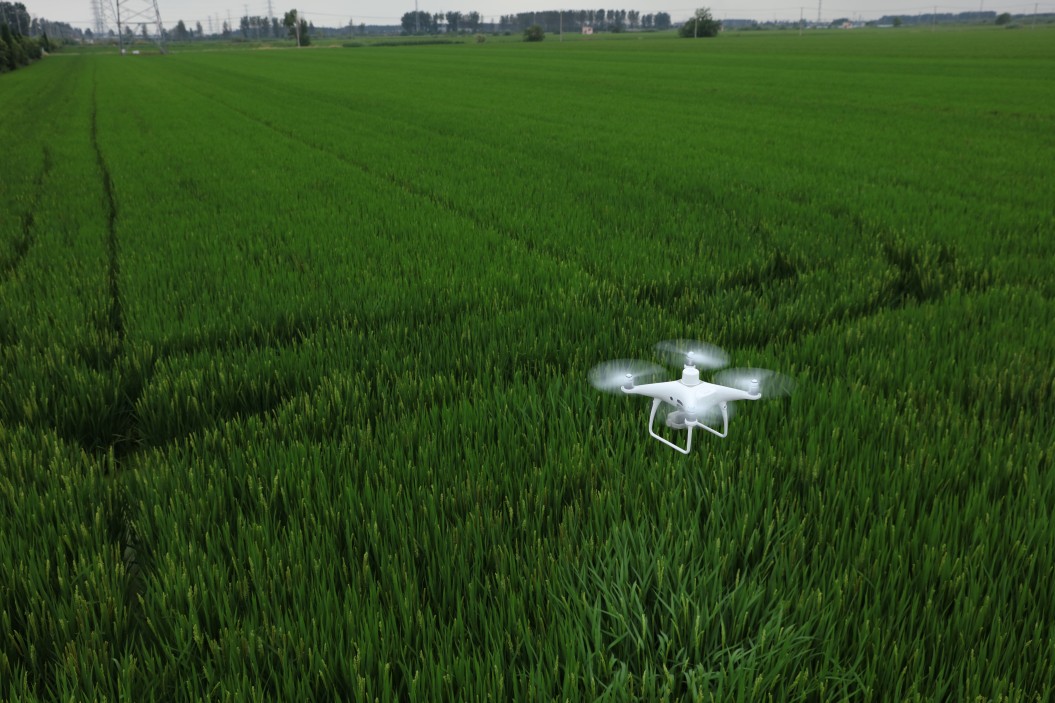
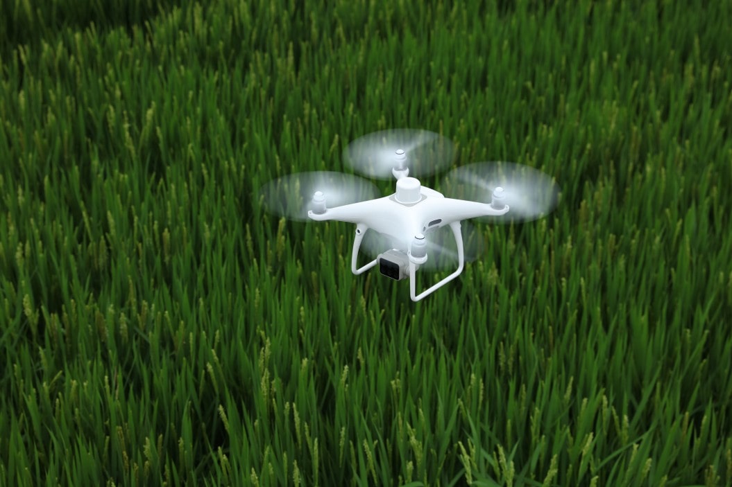
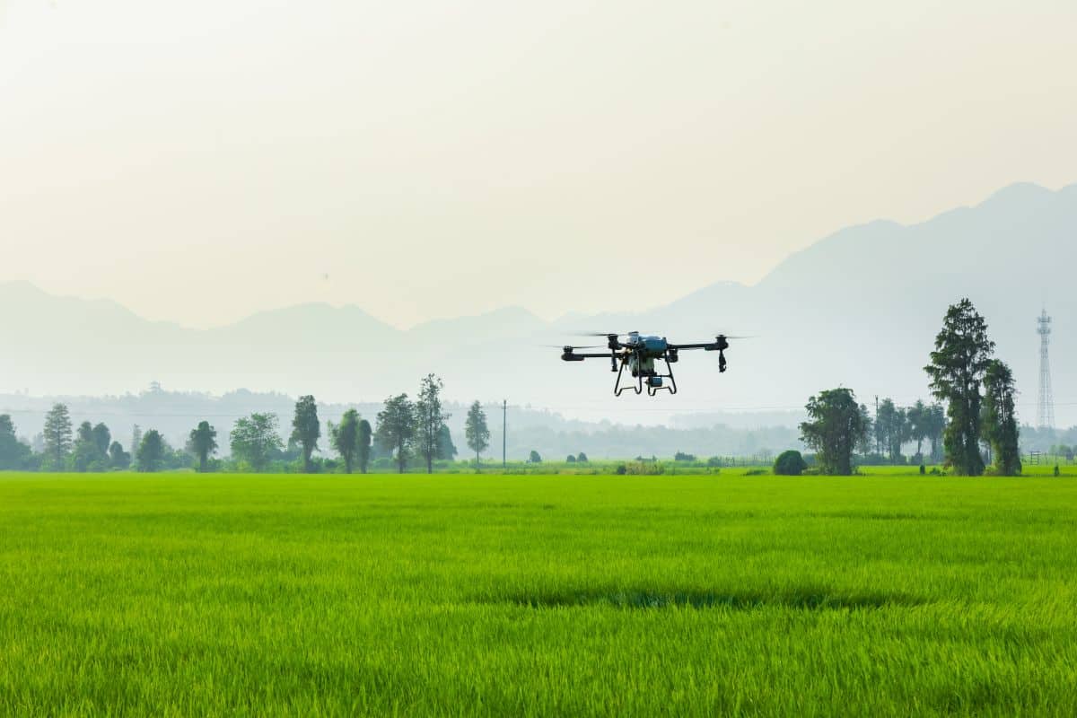
For those keen on precision farming, the fact that drones have enormous potential for agricultural use is nothing new. Today, drones are used not only for taking photos and videos, but also for actual work.
We have taken a look why not only landowners with large areas, but also farmers with a more modest plot of land should consider purchasing a drone with the right capabilities, or even renting a drone as a service offered by professional operators.
1
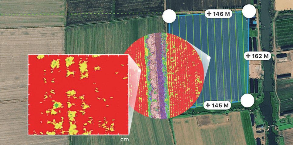
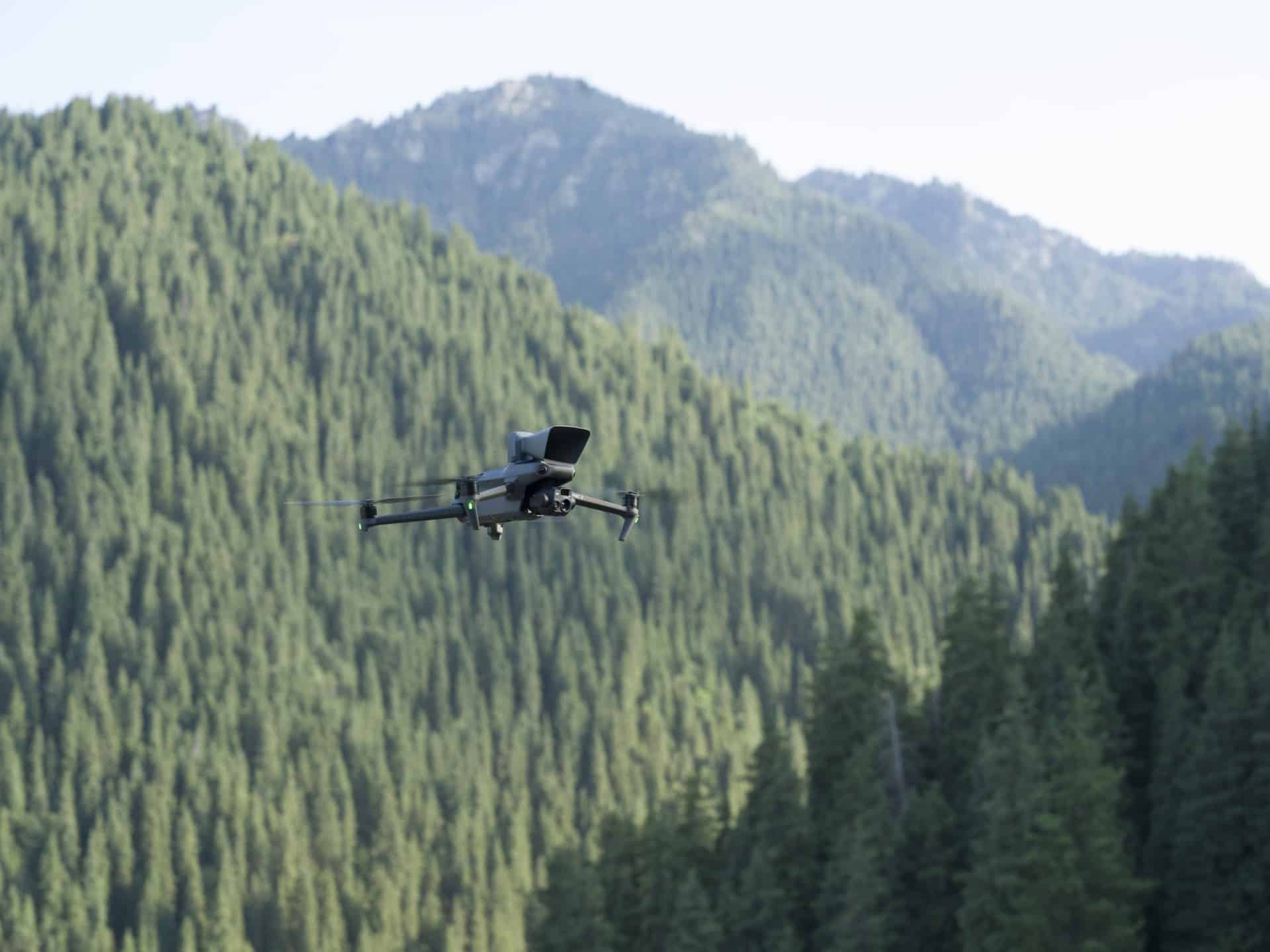
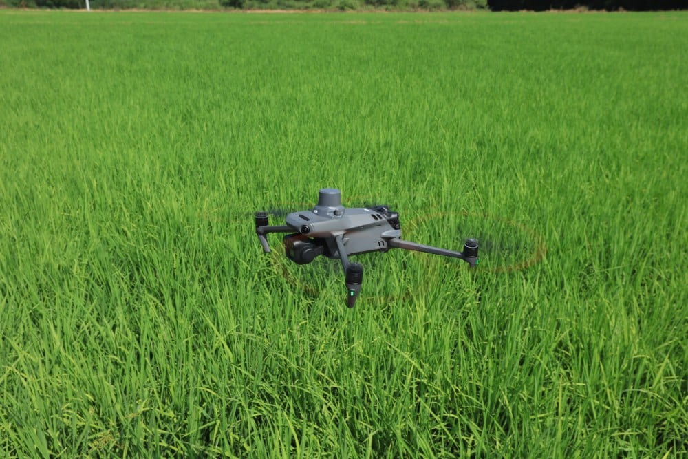
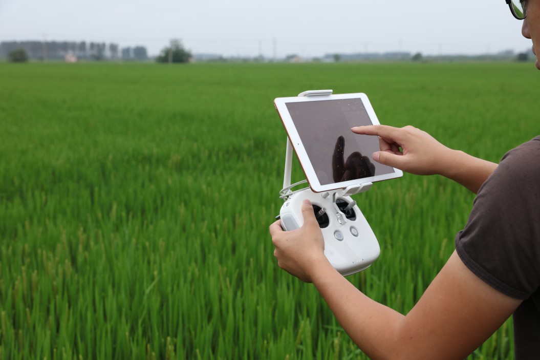
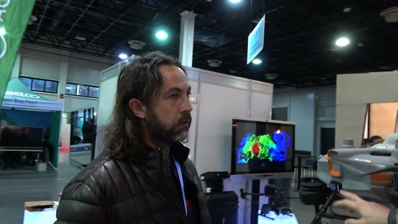
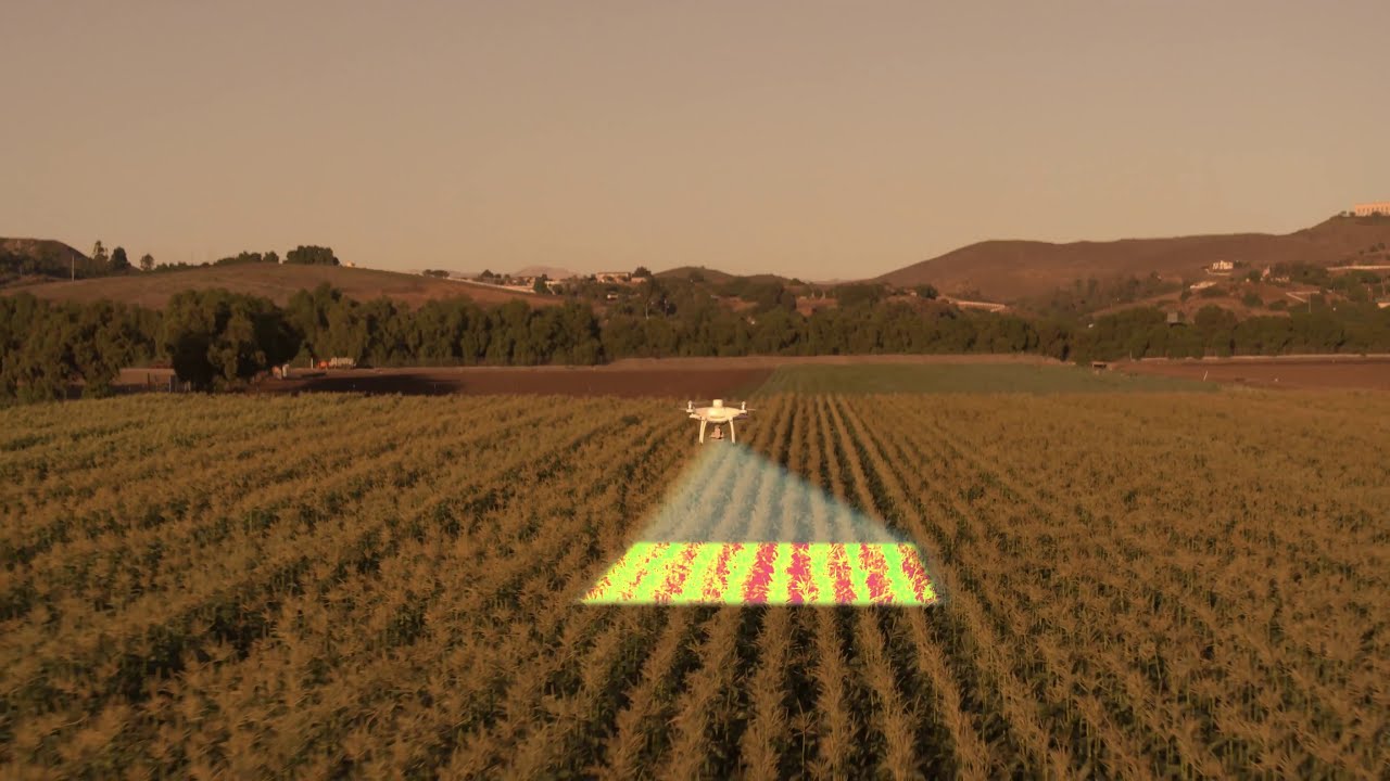
Taking High-Resolution Images
Creating accurate and specific aerial imagery maps with the help of drones is now much more cost-effective, faster, more precise and easier to accomplish. With drones equipped with high-precision GPS as well as RTK modules, you can photograph exactly the same area over time (even hourly, daily, weekly, monthly) along the same coordinates. The drones can fly this route on their own, without the need for manual guidance. By stitching the images together, the software creates a high-precision orthophoto that can form the basis of precision farming.

2
The Role of Drones in Damage Assessment
Drones can help to assess the damage caused by various natural forces. Advanced sensors built into drones may also be able to estimate the extent of damage caused on our farmland by wildlife, storm or other natural forces. And there’s more! State-of-the-art drones can not only make area-based estimates, but can also use machine learning to calculate the number of missing or denuded plants! This data might also be used in insurance procedures.
3
Environmental Status Assessment
using Drones
With the help of the footage taken by agricultural drones, we can take our precision farming to a new level. Not only can we monitor the progress of each phase of work on our land, but also draw specific conclusions, by assessing the impact of operations, and continuously refine our previous vision. The studies carried out may reveal things that you did not think would affect the yield of your farm. All in all, drones can save time, fertilizer, spraying agent, manpower and fuel, while increasing the yield and thus potentially the income of your farm.

4
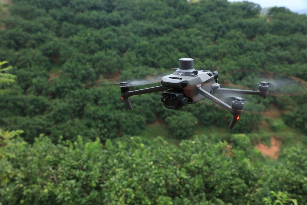
Improving the Health of Plant Culture
Drones enable us to monitor the health of the entire biomass continuously, since we can even use them for plant vegetation analysis (NVDI). They are able to detect pests, and also discover diseases in time, while they are still treatable. In addition to nutrient supply, they can also detect water deficiency or excess water. With the help of the collected data, you can create the optimum condition for your plants, estimate yield, monitor ripening processes, and also improve spraying and irrigation.
5
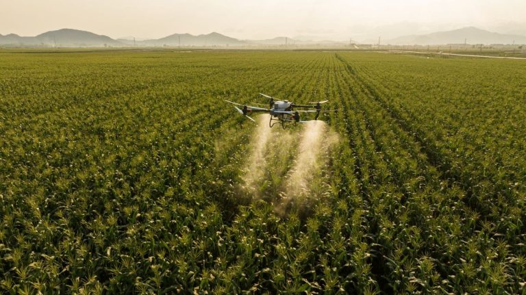
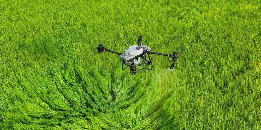
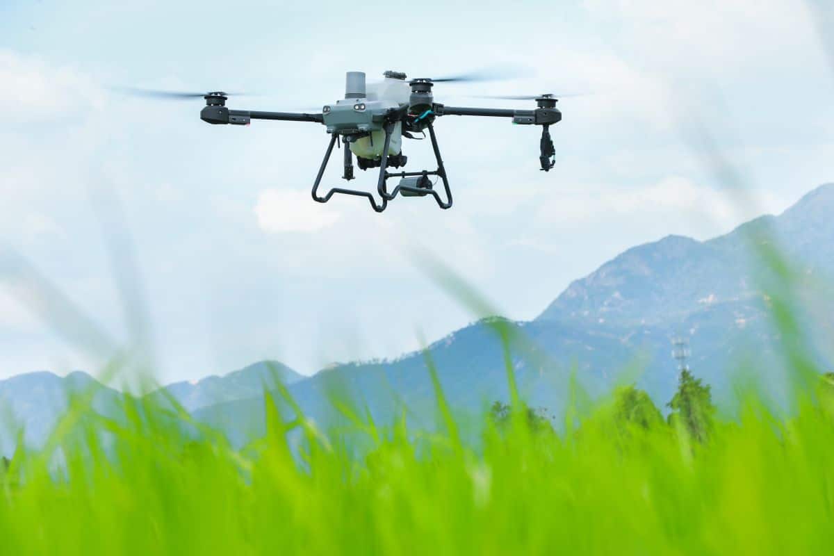
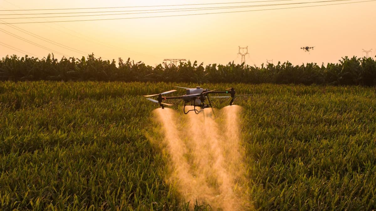
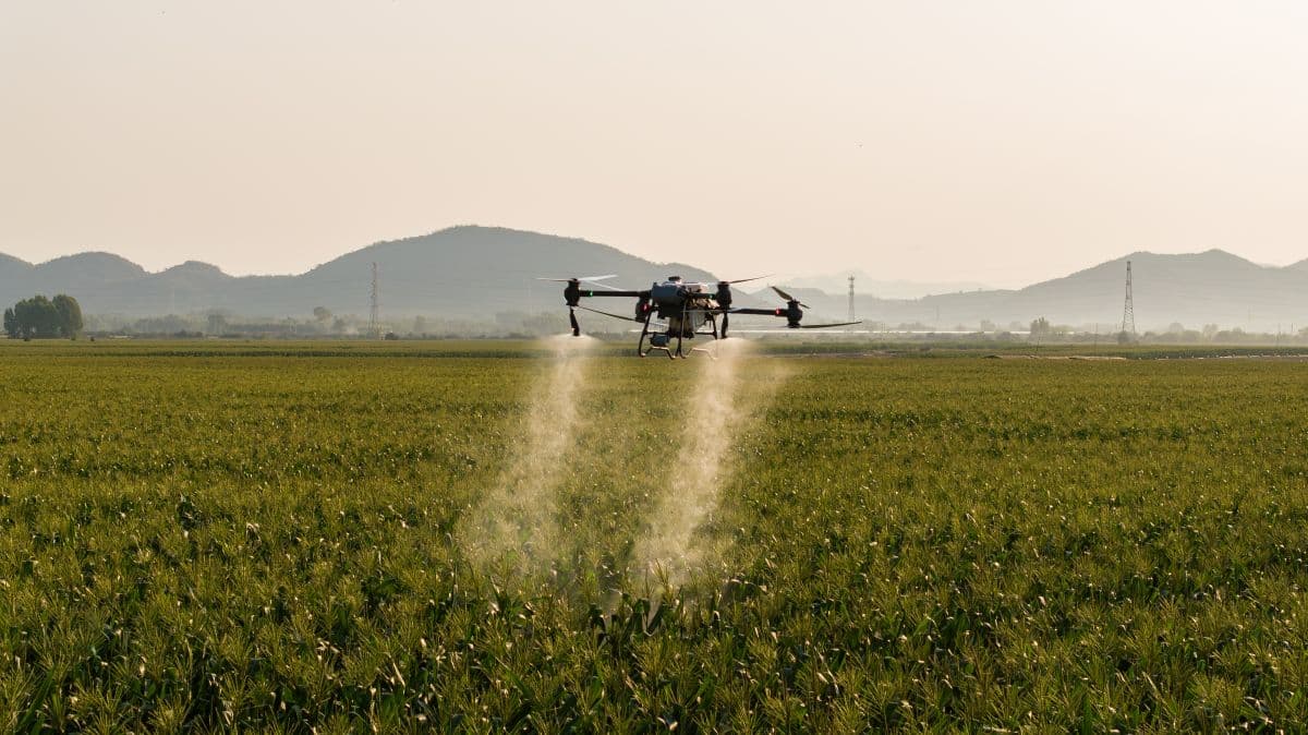
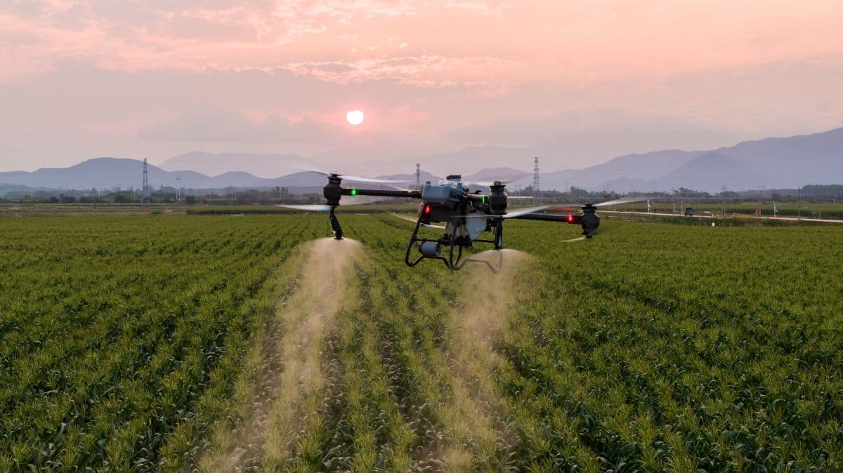
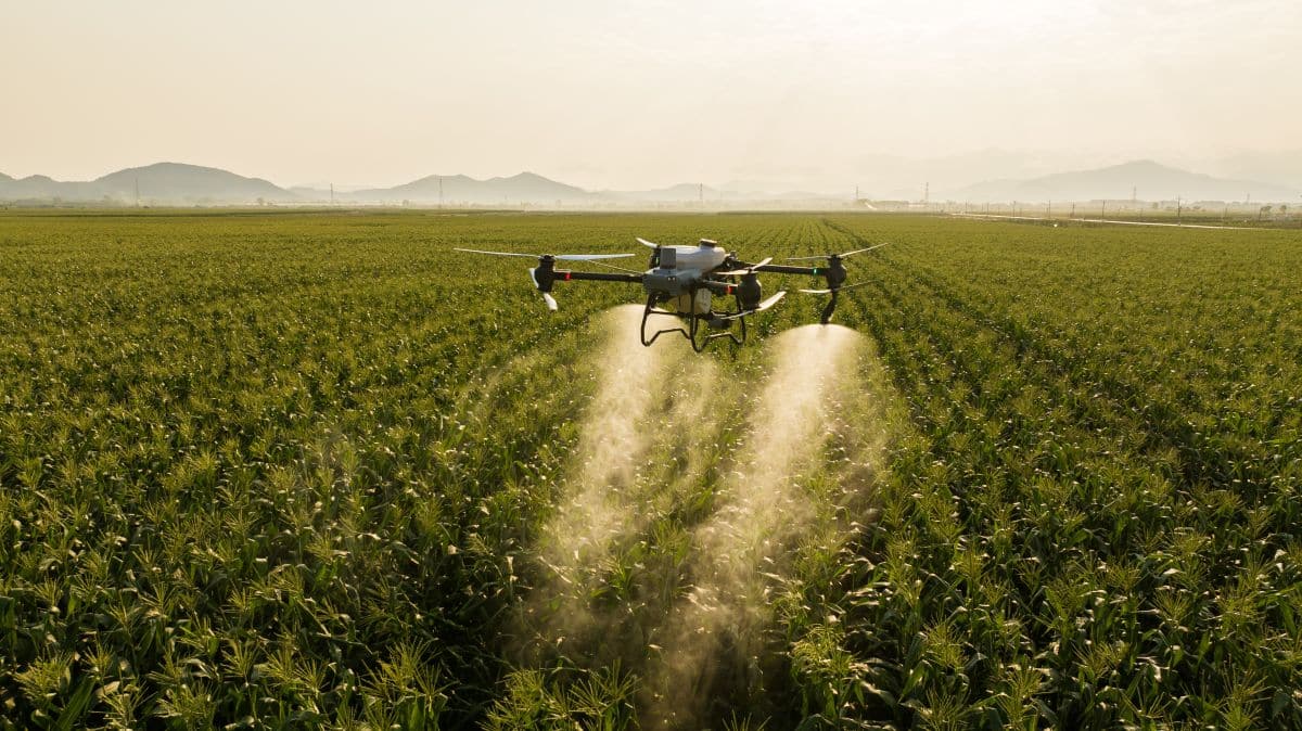
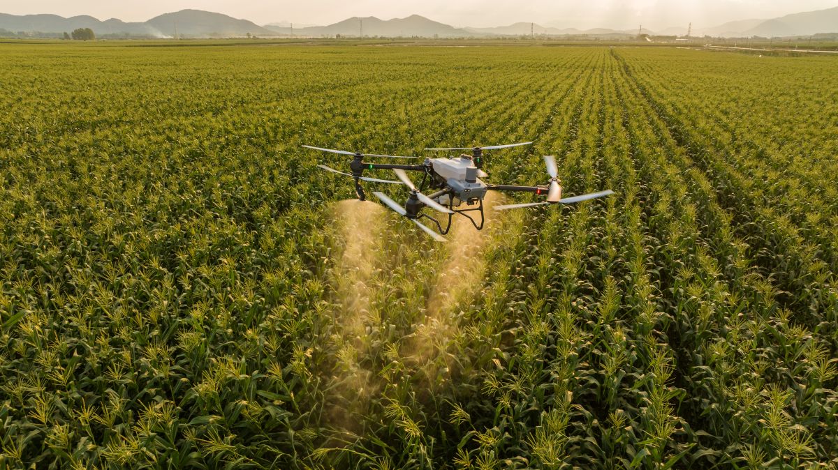
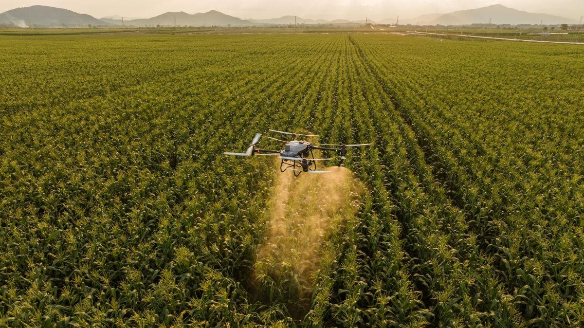
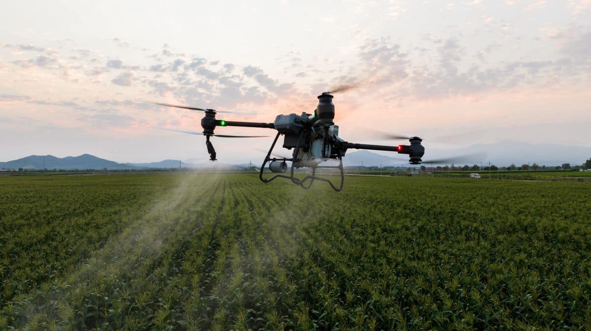
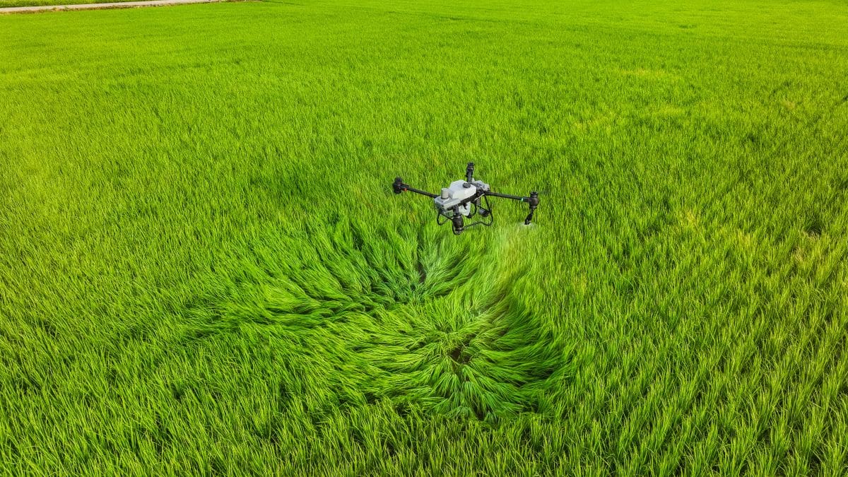
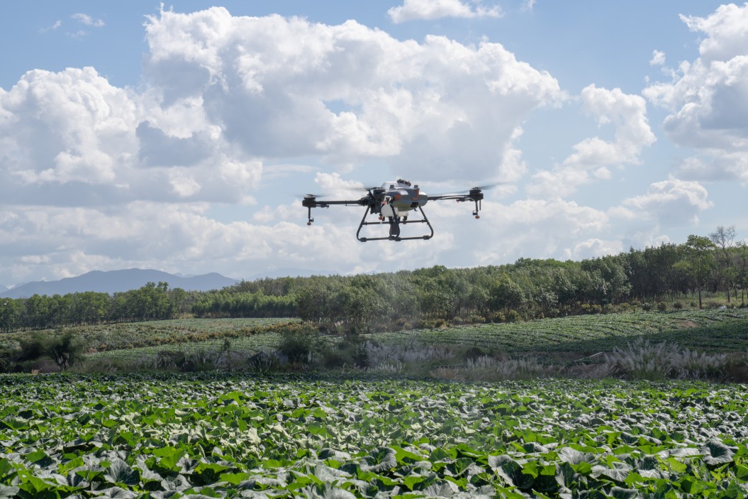
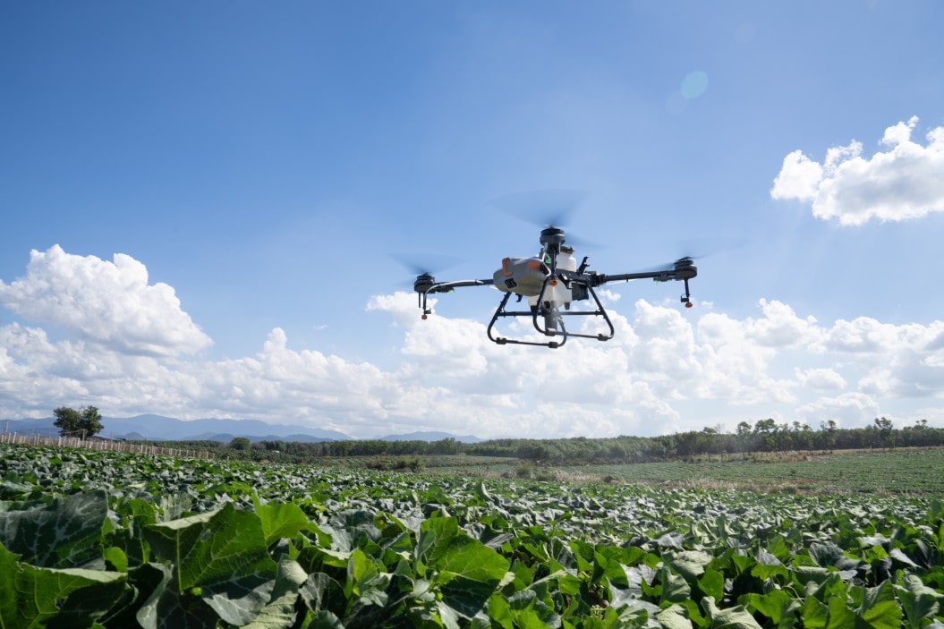
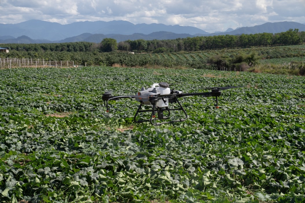
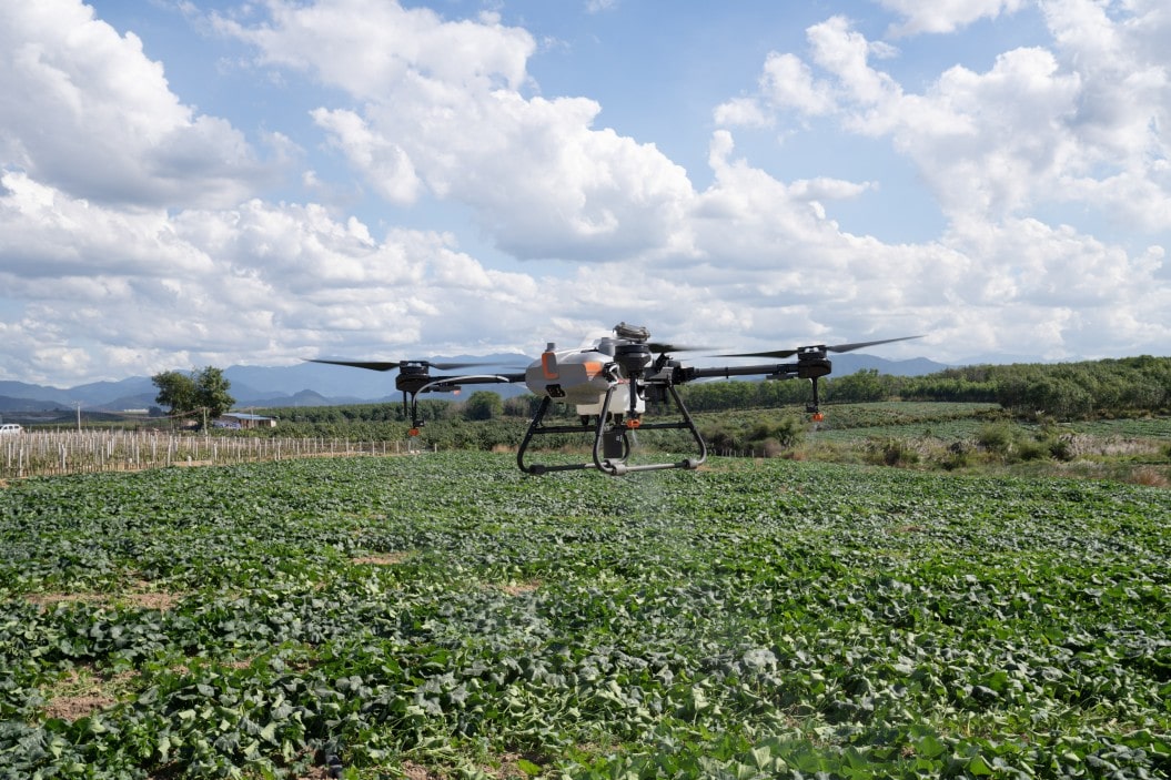
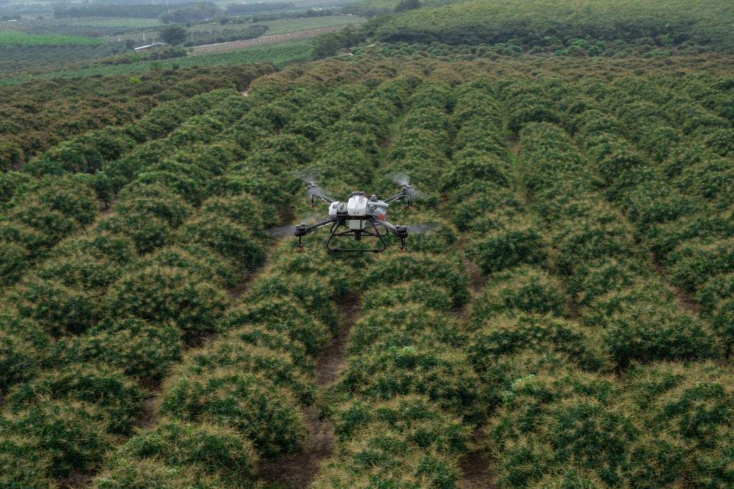
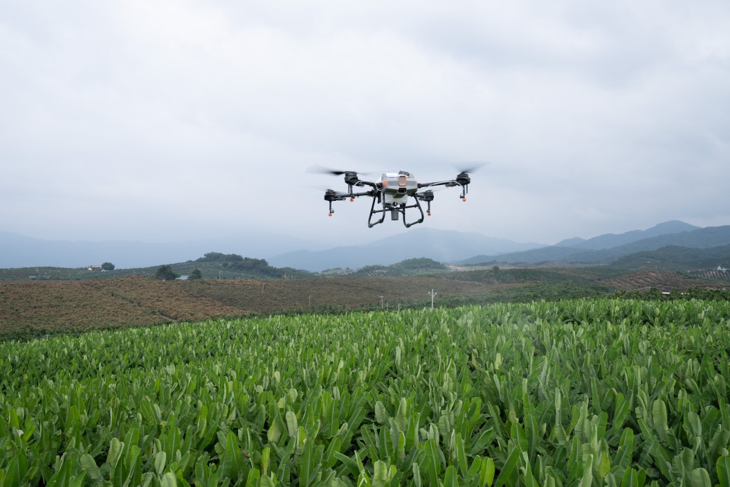
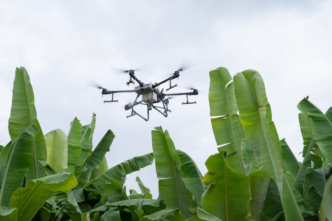
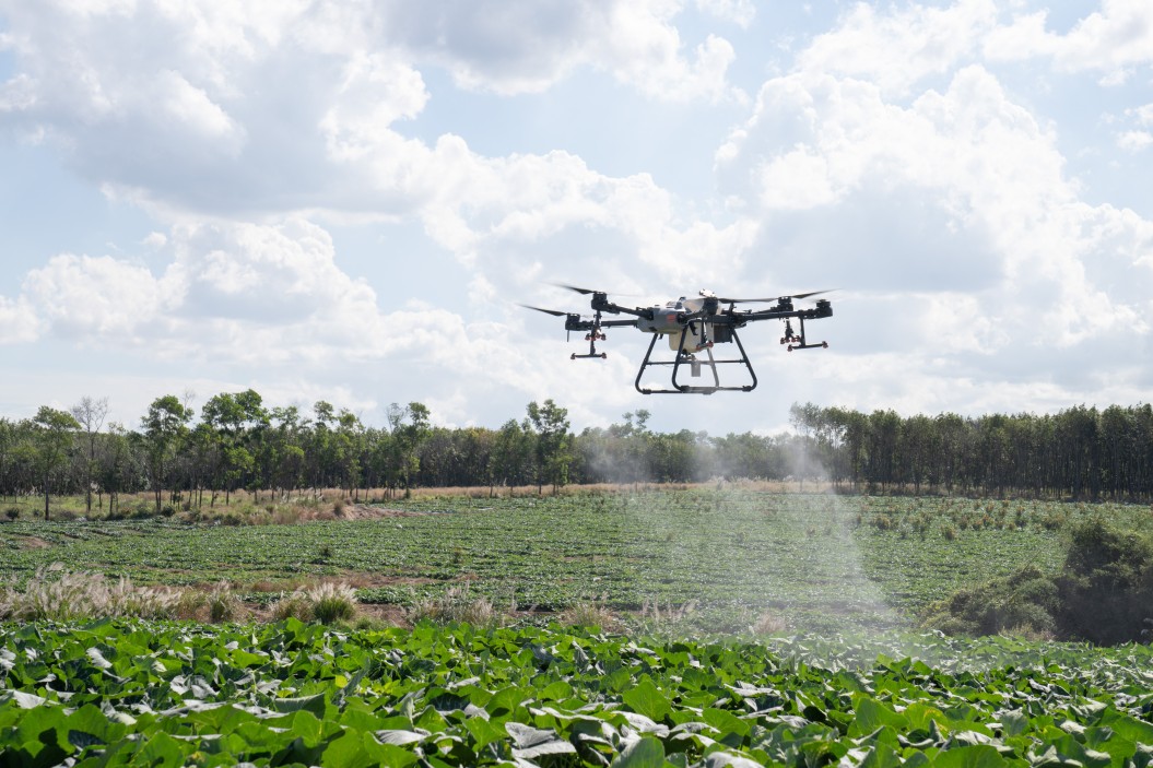
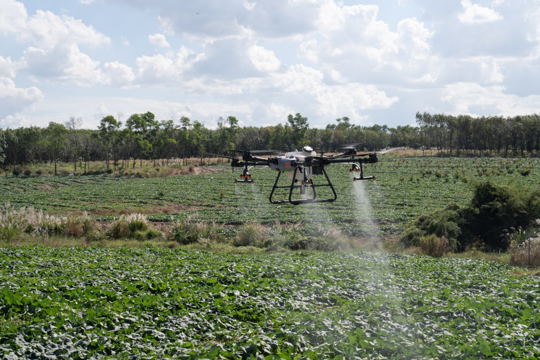
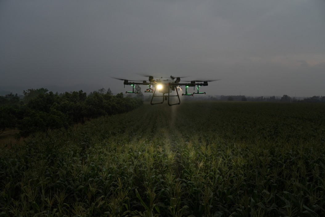
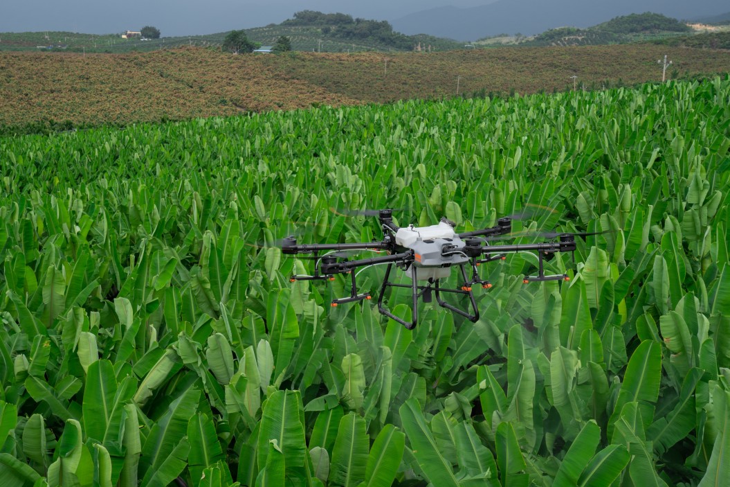
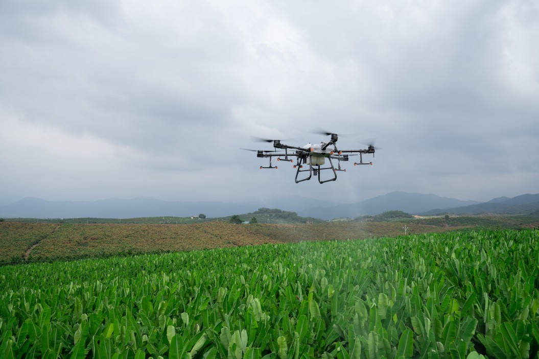
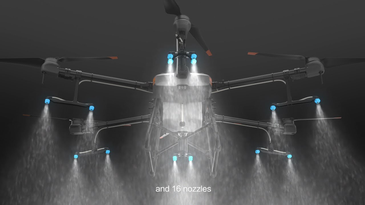
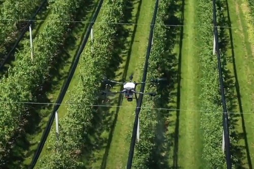
Spraying using Drones
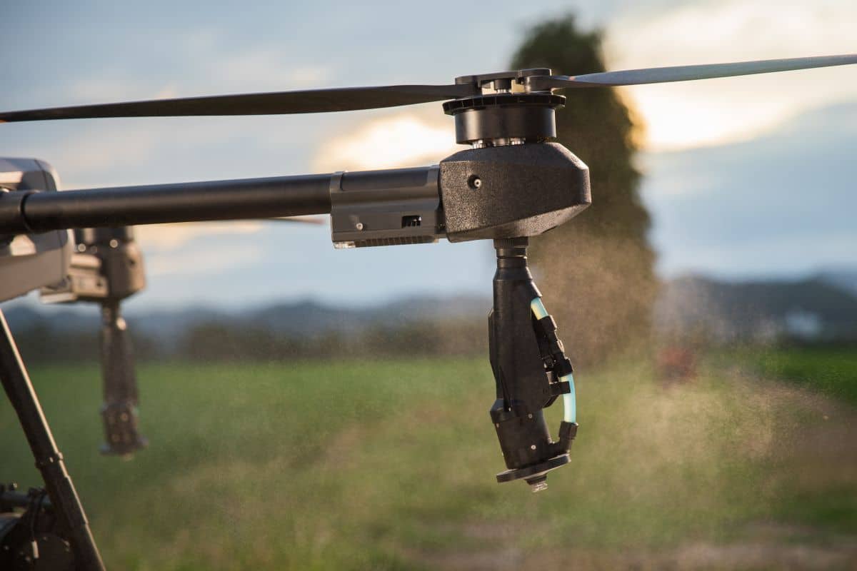
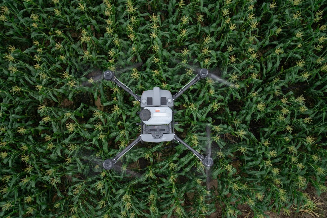
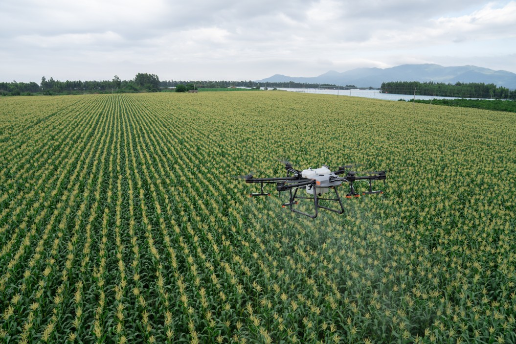
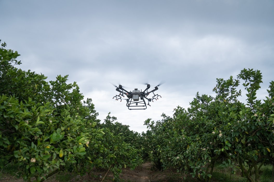
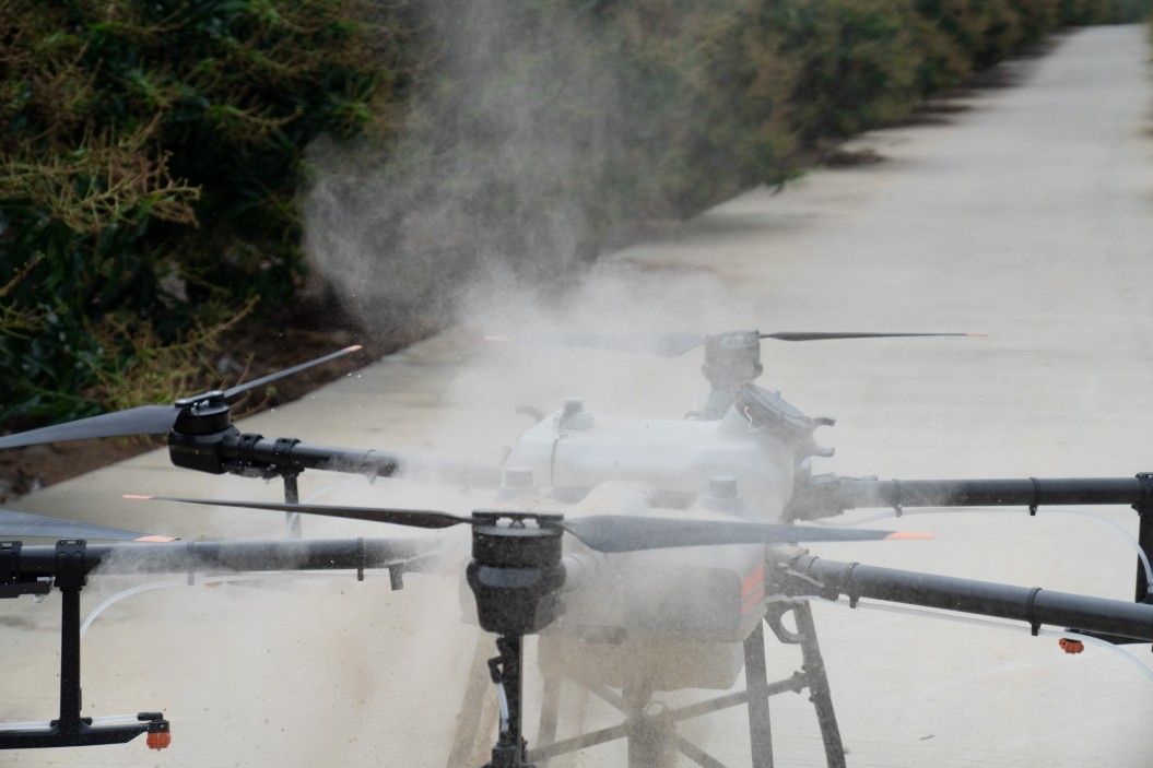
The latest trend is to use drones not only for taking images, but also for spraying, typically in areas where it would be difficult for conventional heavy machinery to do its job. Therefore, drones are not meant to replace, but to supplement traditional spraying methods. Robust drones equipped with tanks can dramatically increase the efficiency of spraying by using their sensors to detect plants and plant parts, and deliver the spray only to the desired parts. The spraying task can not only be remotely controlled, but also automated.
6
Application of Granular Material
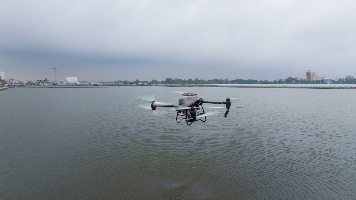
Many people are unaware of this, but spraying drones can be used for more than just delivering liquid phytosanitary products. Agricultural drones can be used in a variety of applications, such as reseeding grassland, spreading granular fertilizer, and spreading feed for aquatic animals such as fish and shrimp. Installing the special spreading system, usually available separately, takes only a few minutes, making it extremely easy for modern farmers to implement it.
Smart Agriculture
Relying on Agricultural Drones
Whether you are working on large farms, hillside orchards, steep terraces or expansive pastures,
DJI’s intelligent agricultural drone solutions are always there for you.

1
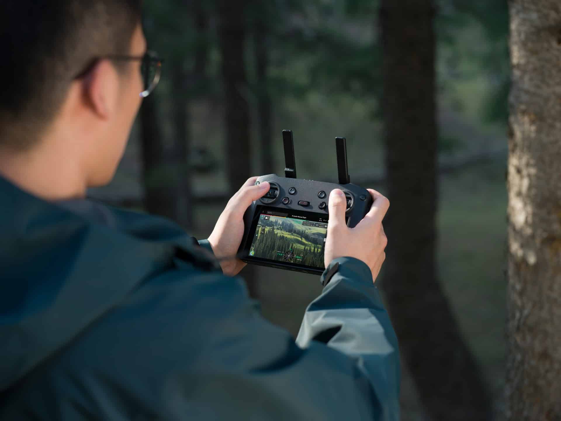
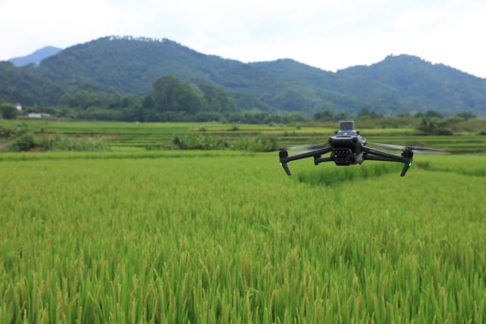
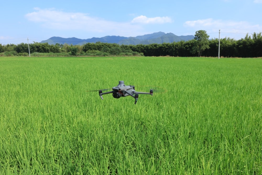
On-Site Surveying
The drone scans target areas while collecting high-resolution images and data with centimeter-level accuracy.
A multispectral image collection can be created to assess the health of the crop.
Recommended solutions:
2
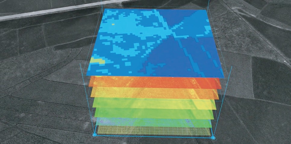
Image Processing
Images collected from the target area can be stitched together in real time, resulting in 2D/3D reconstruction of maps. After analyzing plant-specific metrics, the AI can recommend flight routes for the farmer.
Recommended solutions:
3
Flight Planning
By specifying boundaries, obstacles and calibration points, we can refine and flexibly modify flight plans. Once the desired flight parameters are set, the plans will be finalized, and everything occurs automatically.
Recommended solutions:
4
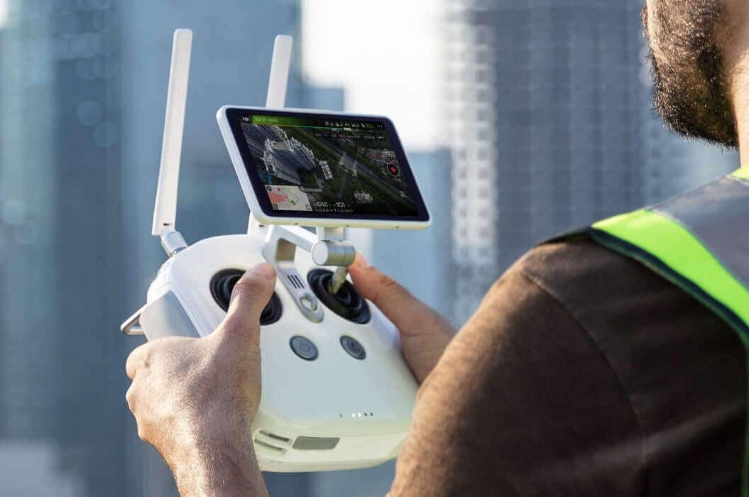
Application
The drone applies or sprays the active substance autonomously, with maximum efficiency and safety. The farmer may as well sit back and monitor the processes from a distance of up to 5 km using image transmission.
Recommended solutions:
Recommended Agricultural Drones
For On-Site Surveying and Monitoring
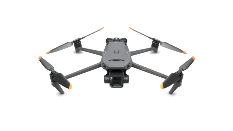
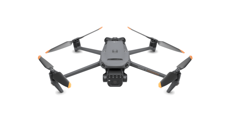
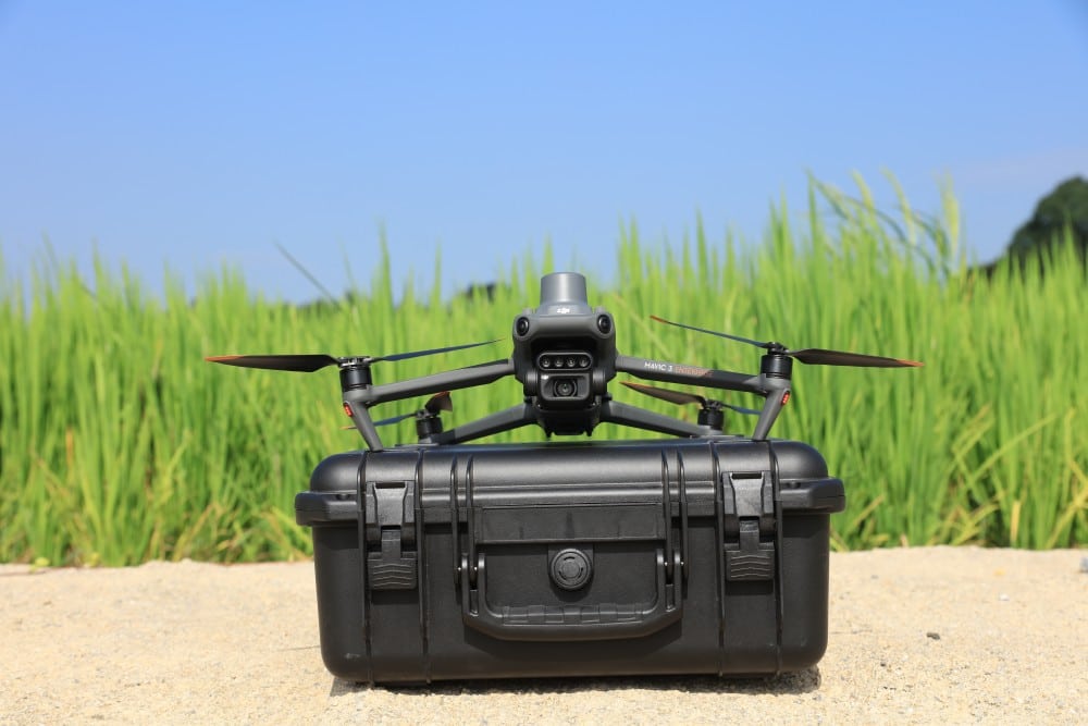
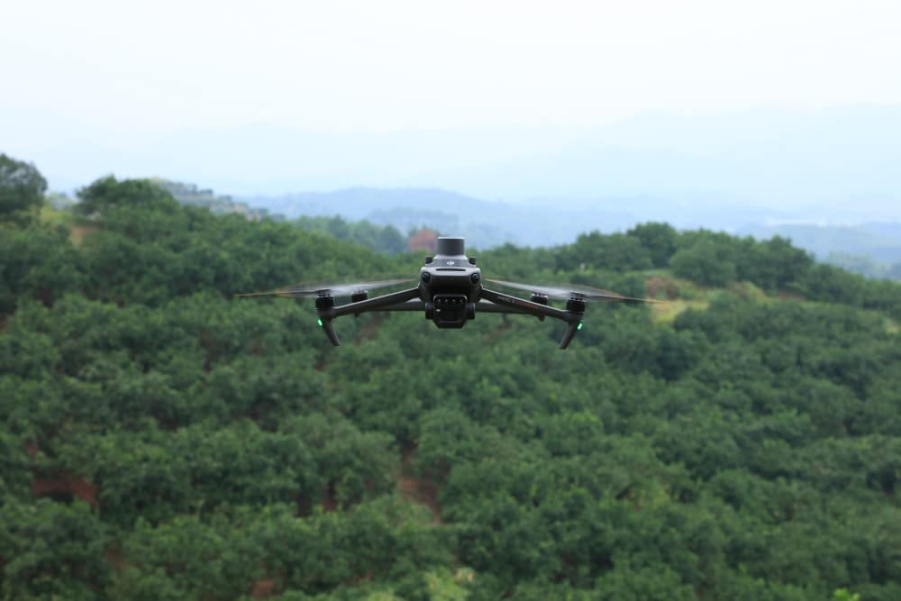
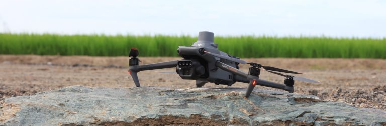
DJI Mavic 3 Enterprise

Highlighted features
- Optional RTK module – for centimeter-level positioning
- 4/3 CMOS, 20MP wide-angle camera with mechanical shutter
- 56× hybrid zoom - because details are important
- Compact and easy to carry
- An area of up to 2 square kilometers can be surveyed with a single flight
- DJI O3 Enterprise signal transmission system - for a more stable live image
- DJI Pilot 2 app - for even simpler flight planning
- Excellent imaging even in adverse lighting conditions
- PSDK, MSDK, Cloud API support - for the pleasure of developers
- Approx. 45 minutes flight time
DJI Mavic 3 Multispectral

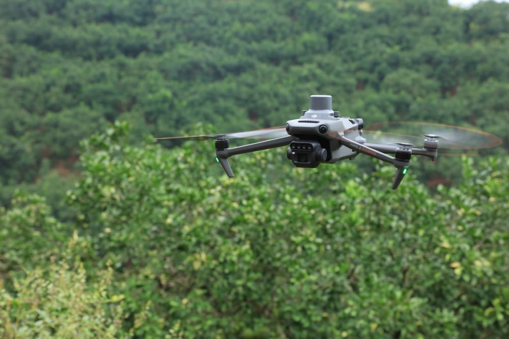
Highlighted features
- Comes with a RTK module – for centimeter-level positioning
- 4 multispectral 1/2.8" 5MP CMOS sensors (G,R,RE,NIR)
- 4/3 CMOS, 20MP wide-angle camera with mechanical shutter
- Compact and easy to carry
- In ideal weather conditions and from a suitable height, it can survey up to 200 hectares per flight
- DJI O3 Enterprise signal transmission system - for a more stable live image
- DJI Pilot 2 app - for even simpler flight planning
- It is able to carry out accurate surveys even without the use of ground control points
- Live RGB and NDVI view – for instant results
- Approx. 43 minutes flight time
End of Availability
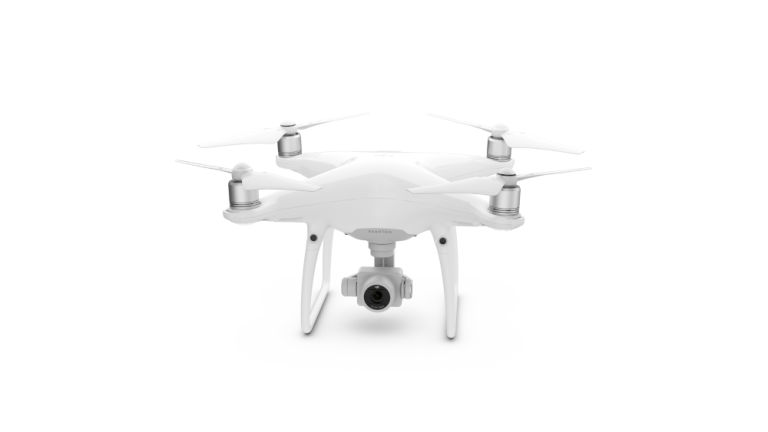
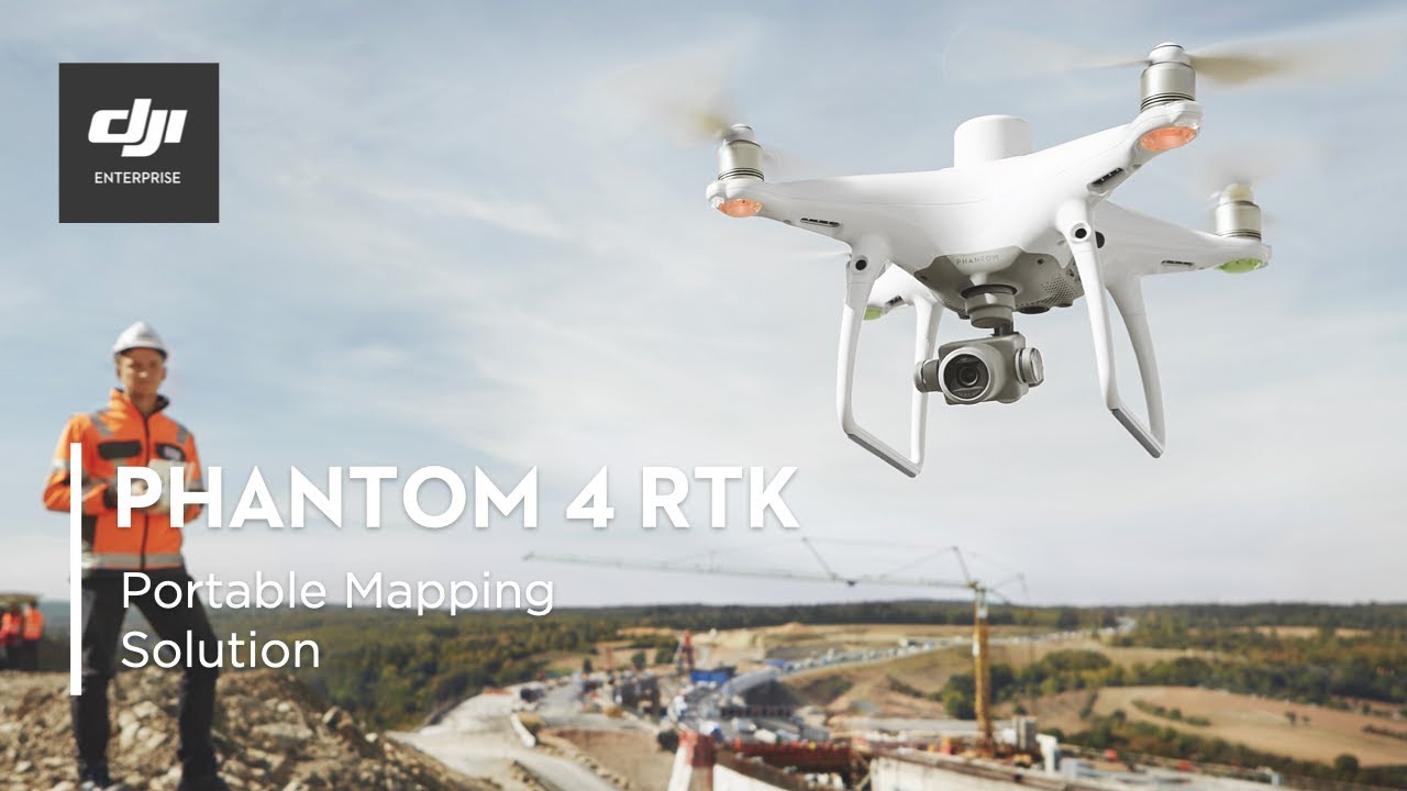
DJI Phantom 4 RTK


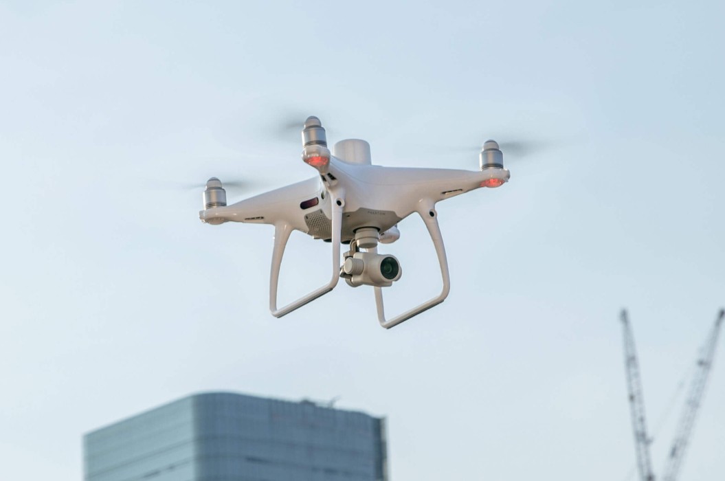
Highlighted features
- Built-in RTK module – for centimeter-level positioning
- 1×1" 20 MP CMOS sensor – for pin-sharp RGB images
- TimeSync – for more accurate data
- OcuSync – for a more stable live image
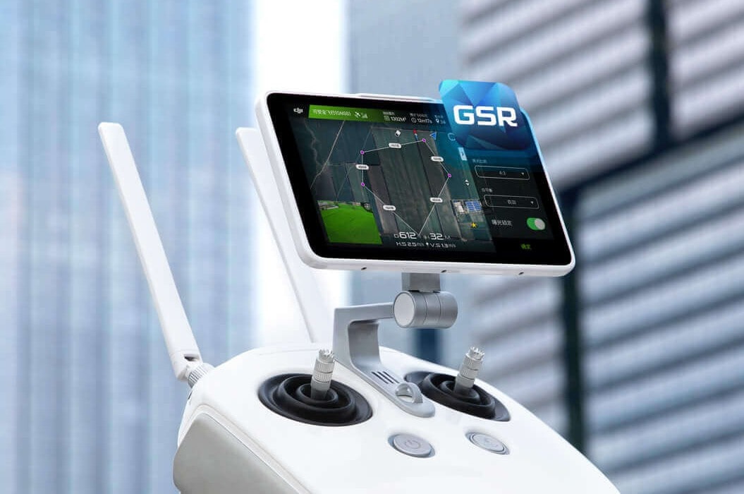
- GS RTK app – for easy flight planning
- Support for D-RTK 2 Mobile Station – for even more accurate data
- Mobile SDK support – a developer’s delight
- Approx. 30 minutes flight time
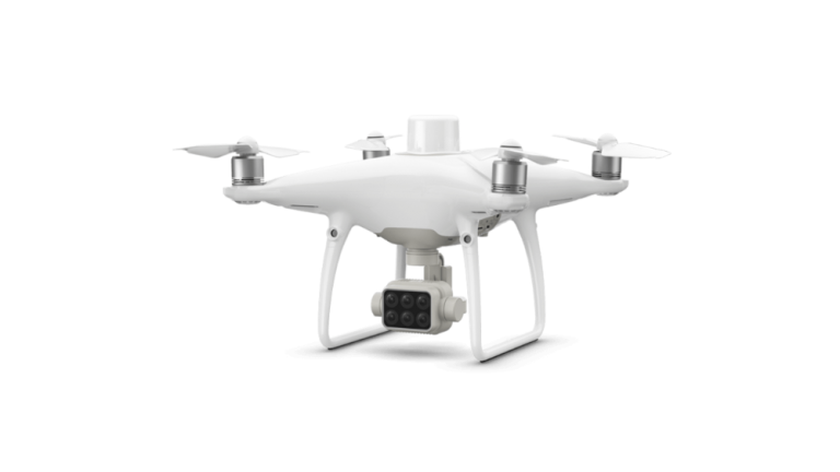
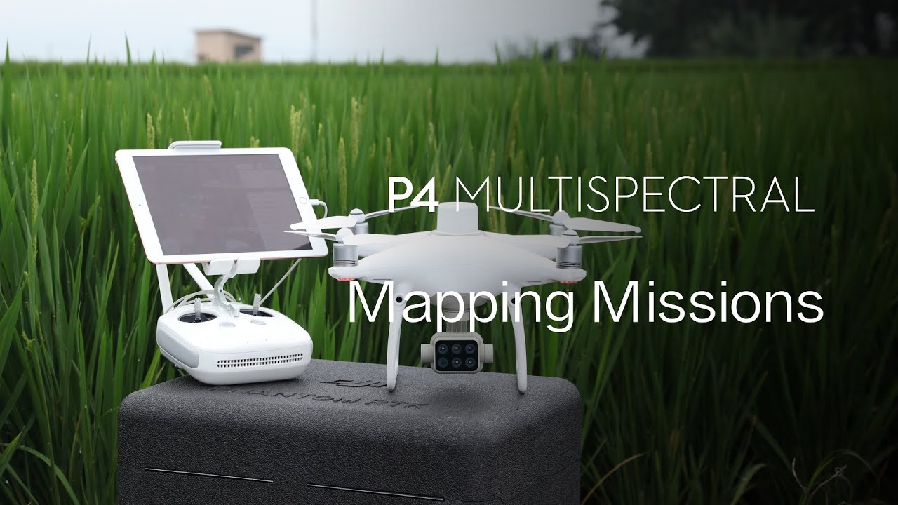
DJI P4 Multispectral


Highlighted Features
- Built-in RTK module – for centimeter-level positioning
- 1 RGB + 5 multispectral 1/2.9" 2MP CMOS sensor
- TimeSync – for more accurate data
- OcuSync – for a more stable live image
- GS RTK app – for easy flight planning
- Support for D-RTK 2 Mobile Station – for even more accurate data
- Live RGB and NDVI view – for instant results
- Approx. 27 minutes flight time
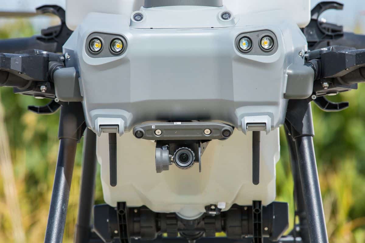
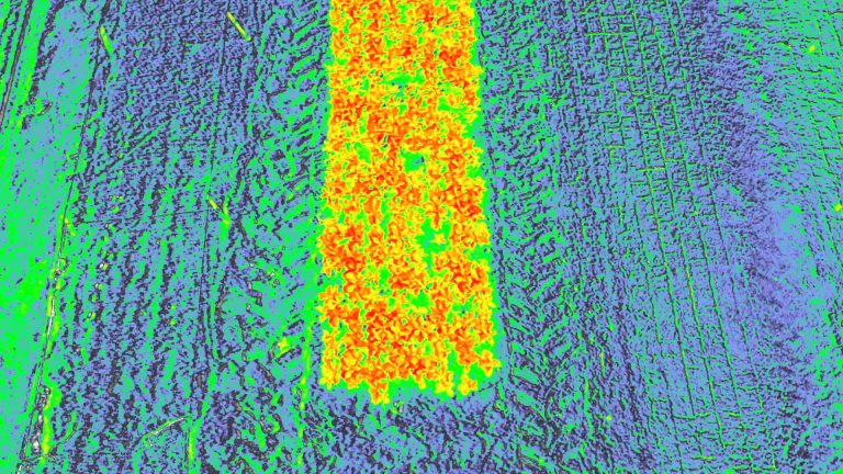
About the Sensors and Cameras on Monitoring Agricultural Drones
How To Choose an Agricultural Mapping Drone?
A mapping drone is only as useful as the data it can collect, and the information you can ultimately extract from it.
Depending on the needs of your farm, you may therefore want to choose a drone with the right sensors and cameras.
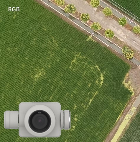
RGB camera
This type of sensor detects the visible light range of the electromagnetic spectrum, including the red, green and blue color ranges.
Choose a drone with a high-resolution RGB camera if...
- you want to explore your property from an aerial perspective, observe it and track changes,
- you need a 3D model and a ground cover classification,
- you would like to produce vegetation indices (VI), such as VARI or NGRDI,
- you would like to identify and count plants and seedlings automatically,
- you would like to compare the number of plants and their growth with previous years,
- you need help with documenting any damage to plants and livestock for a smooth insurance process, (Consult with your insurance company in advance)
- you would like to create a centimeter-level map of the area,
- you would like to spray in orchard and woodland areas, and you need to track the exact height of vegetation to avoid obstacles,
- you would like to make sure that there is no overlapping tilling at the boundaries of the property, or perhaps you want to catch any thieves.
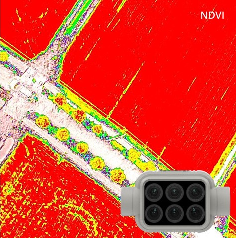
Multispectral camera
Special sensors that detect several specific wavelengths of light beyond the visible spectrum are called multispectral.
Choose a drone with a multispectral camera if...
- you need to create special vegetation index (VI) maps, including NDVI, GNDVI, NDRE, LCI and OSAVI. Each vegetation index has specific use cases and advantages.
- you need phytosanitary measurements to perform targeted interventions.
- you would like to identify areas affected by pests.
- you would like to perform image-based soil analysis to optimize fertilizer or nitrogen application.
- you would like to perform irrigation analysis, and treat areas of your land affected by drainage problems or lack of water.
- you would like to assess wildlife damage, biomass status, dry matter content, flowering status or even land density.
Recommended Agricultural Drones
For Spraying and Applying Active Substances
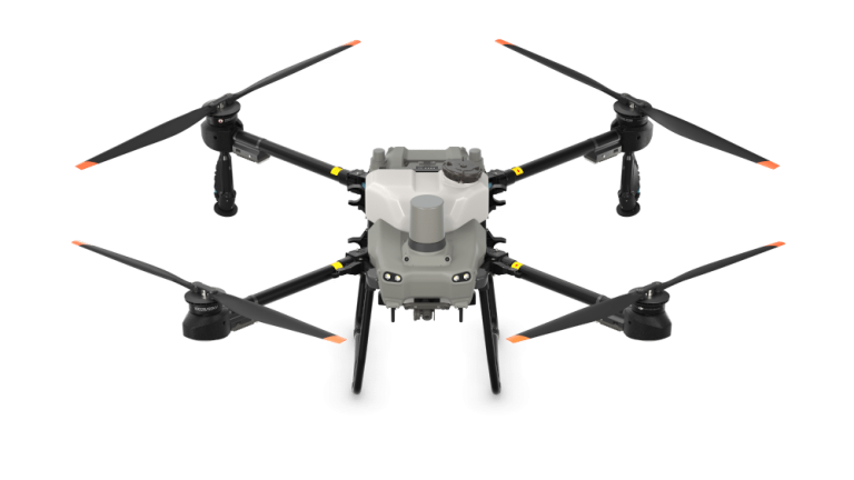
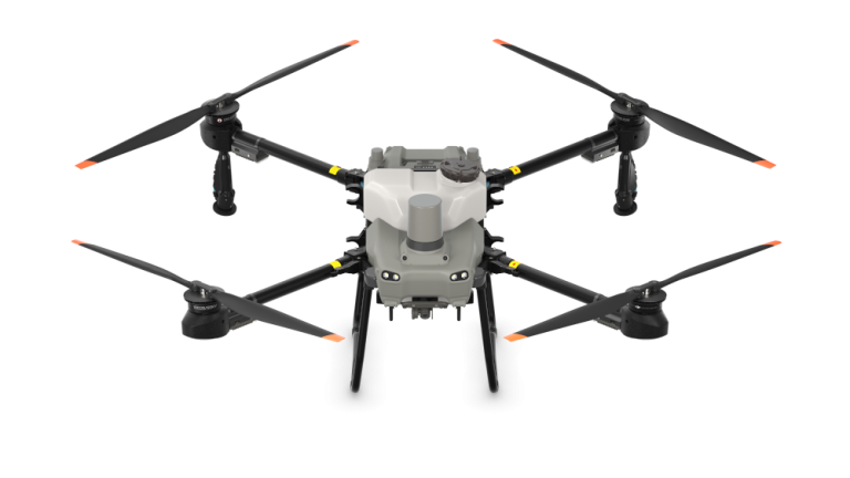
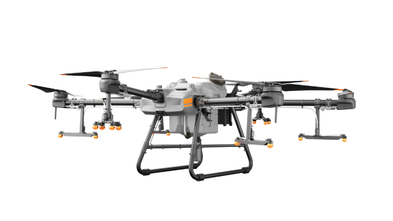
DJI AGRAS T25
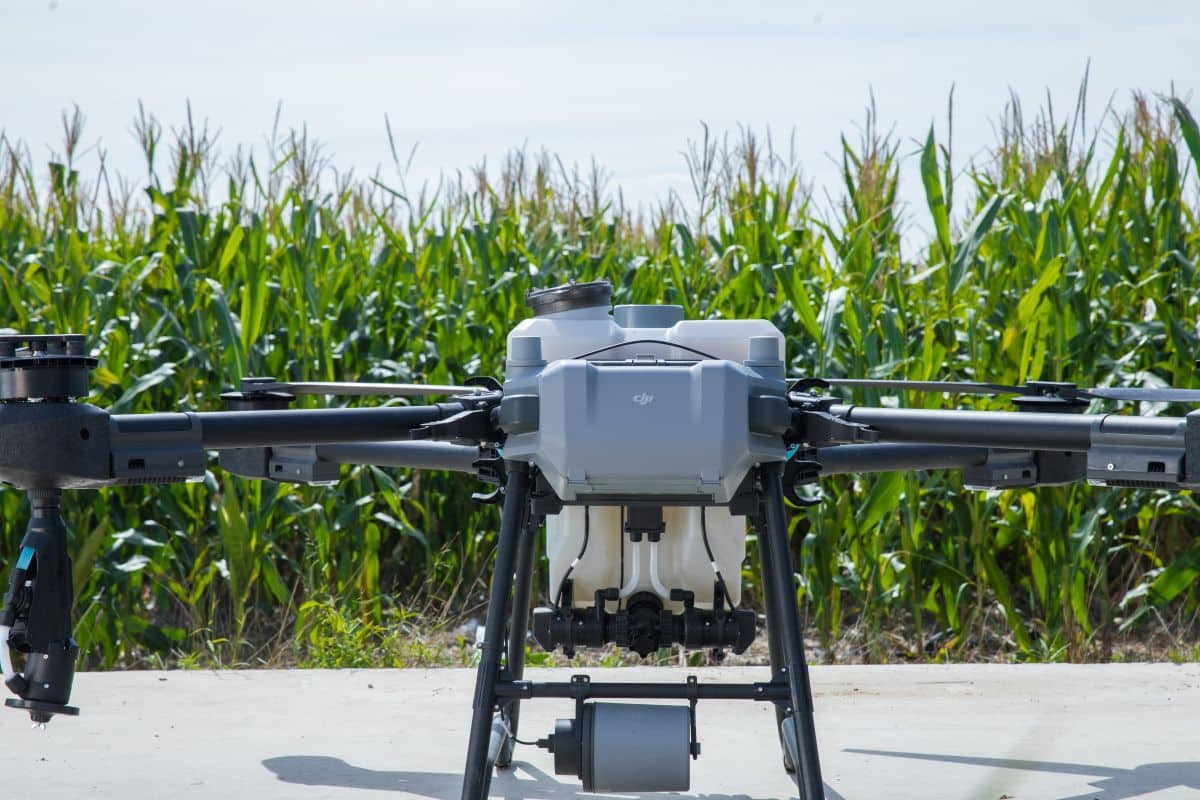
Highlighted Features
- Compact size, foldable design
- Ultra-fast battery charging
- Fully automatic and manual operation Orchard Mode Variable Rate Application
- 20 kg Spraying, 25 kg Spreading
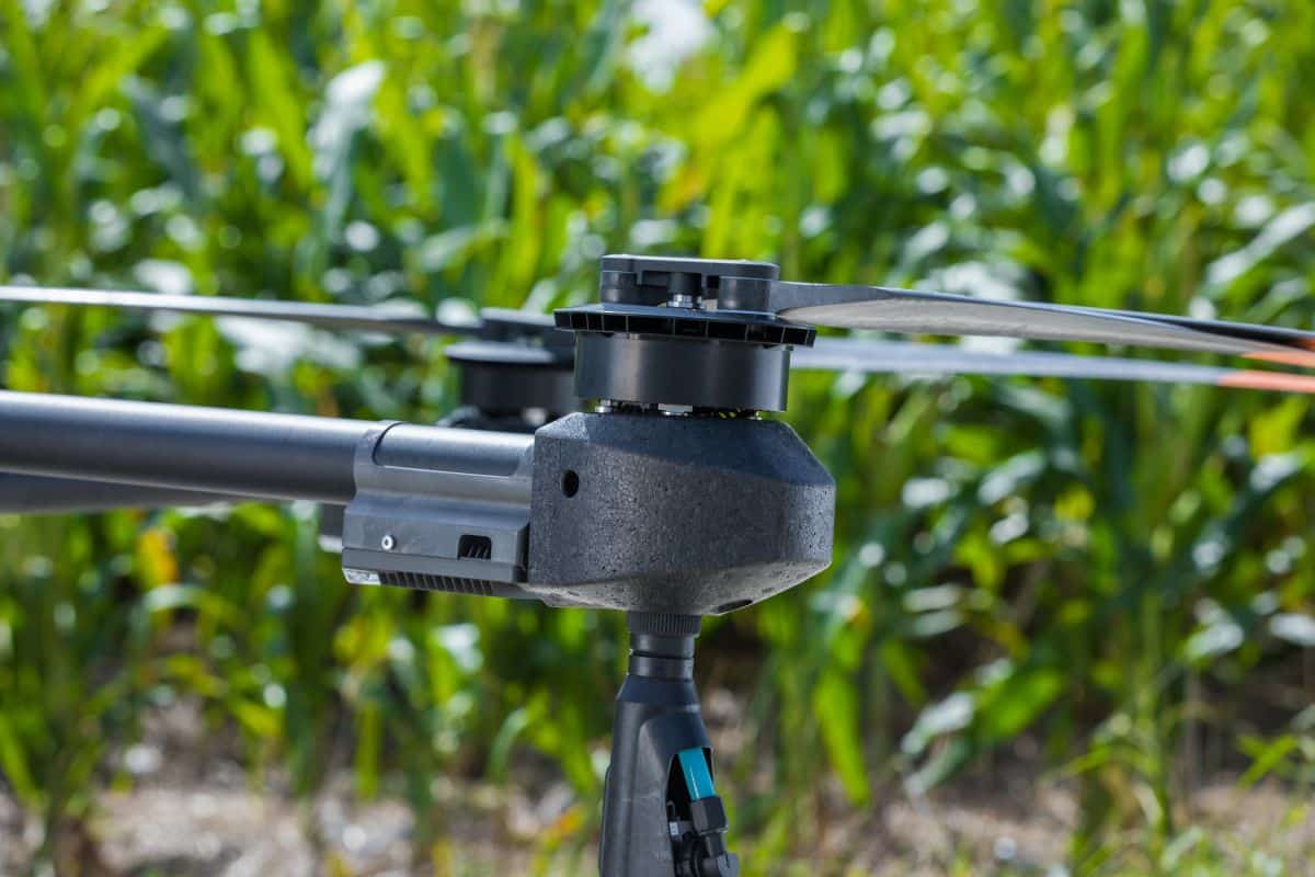
- Multidirectional Obstacle Sensing
- Double Peace of Mind with Binocular Vision and Dual Radar
- Terrain Following up to 50°
- High Resolution FPV Gimbal Camera
- Maximum spray coverage: up to 12 acres/hour
- Maximum spray rate: up to 24L/min
- Maximum spray width: up to 7m
- Supporting DJI Spreading System (T25)
- Two centrifugal sprinklers can be incorporated to ensure an effective spray coverage on fruit trees
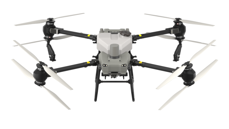
DJI AGRAS T50


Highlighted Features
- Heavy Payload
- Ultra-fast battery charging
- Fully automatic and manual operation Orchard Mode Variable Rate Application
- 40 kg Spraying, 50 kg Spreading
- Multidirectional Obstacle Sensing
- Double Peace of Mind with Binocular Vision and Dual Radar
- Terrain Following up to 50°
- High Resolution FPV Gimbal Camera
- Maximum spray coverage: up to 21 acres/hour
- Maximum spray rate: up to 24L/min
- Maximum spray width: up to 11m
- Supporting DJI Spreading System (T50)
- Two centrifugal sprinklers can be incorporated to ensure an effective spray coverage on fruit trees
End of Availability
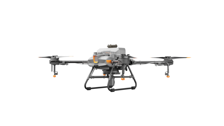
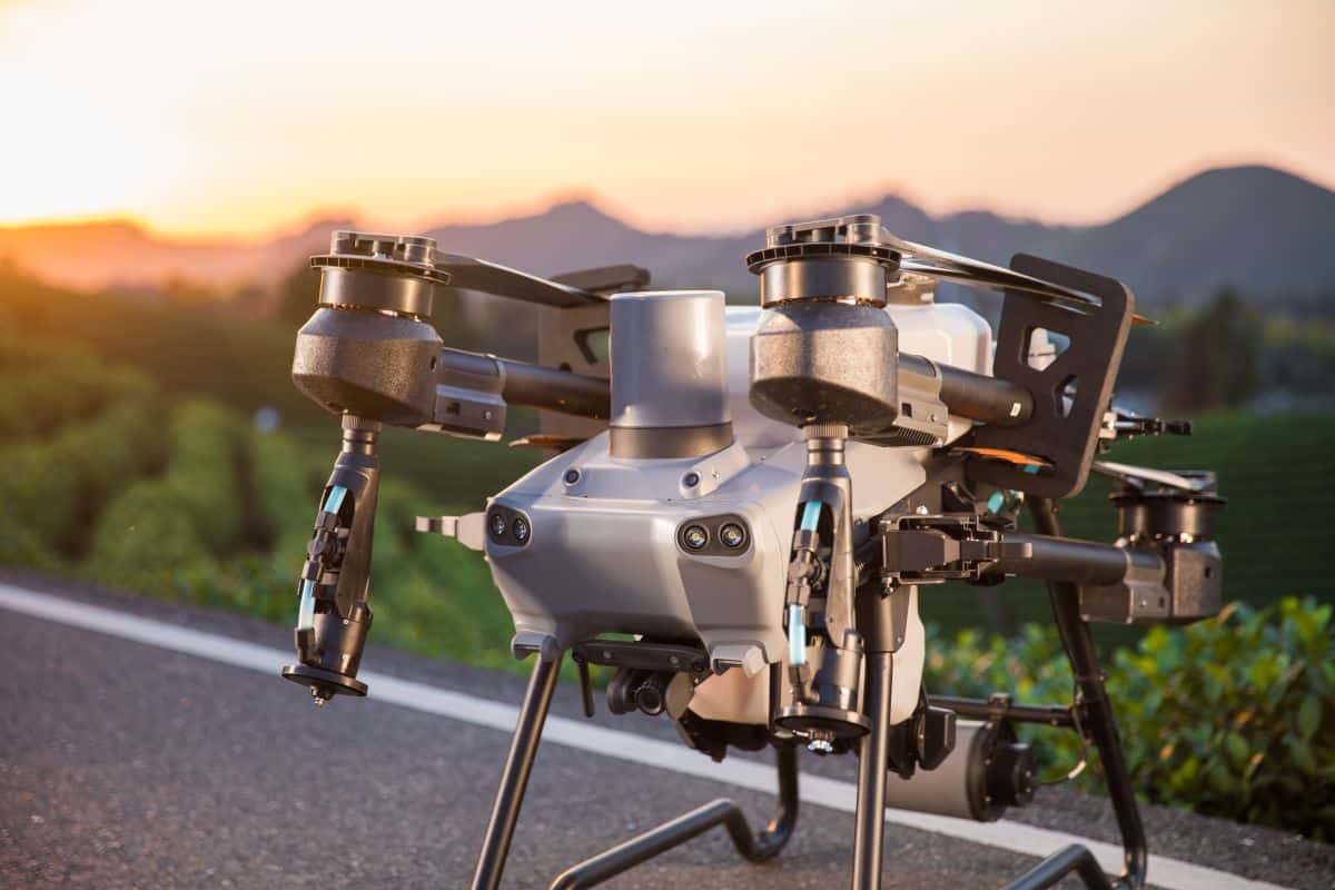
DJI AGRAS T10


Highlighted Features
- Compact size, foldable design
- Ultra-fast battery charging
- Centimeter-level positioning (RTK module)
- Independent (autonomous) operation
- 8 or up to 10-liter spraying tank
- Omnidirectional obstacle detection
- AI engine
- IP67 protection for core components
- Dual wide-angle FPV camera
- Support for Smart Agriculture Cloud Platform
- Maximum spray coverage: up to 6.67 acres/hour
- Maximum spray rate: up to 3L/min
- Maximum spray width: up to 5.5 m
- Supporting DJI Spreading System 3.0 (T10)
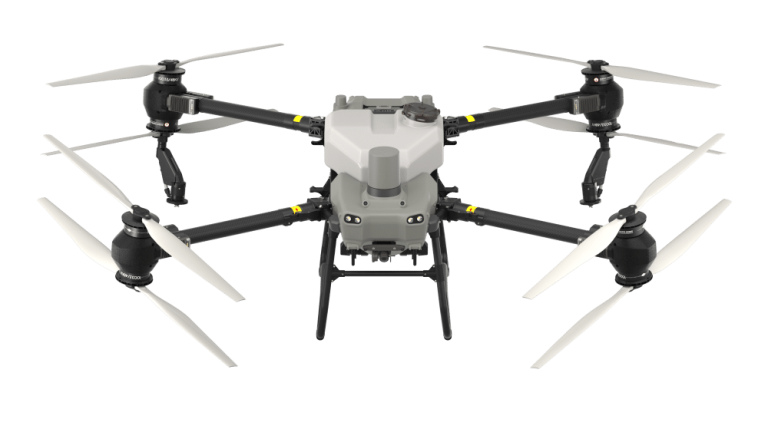
DJI AGRAS T30
Highlighted Features
- Folds to reduce footprint by 80%
- Ultra-fast battery charging
- Centimeter-level positioning (RTK module)
- Independent (autonomous) operation
- 30L spraying tank
- Omnidirectional obstacle detection
- AI engine
- IP67 protection for core components
- Dual wide-angle FPV camera
- Support for Smart Agriculture Cloud Platform
- Maximum spray coverage: up to 16 hectares/hour
- Maximum spray rate: up to 8 l/min
- Maximum spray width: up to 9 m
- Supporting DJI Spreading System 3.0 (T30)
- Supporting DJI T30 Orchard Spray Package
Learn more about our agricultural drones
Demos – Agricultural Drone Video Library
Playlist

3:26

8:05

3:05

5:49

3:35
11:29
9:37
2:49

5:15
13:31
3:08
11:59
31:10
1:39
2:33
4:03
21:02
Who are already benefiting from DJI agricultural drone solutions
Agricultural Drone Case Studies
DJI AGRAS spraying drones at apple farms
Over the past decade, Serbian apple production has become the fastest growing agricultural sector in the country. Most of the production has been exported to the EU and beyond. The yield per hectare is 50-70 tons. All kinds of apples are grown, and modern farms are already using drones for spraying in order to achieve the best yield and fruit quality.
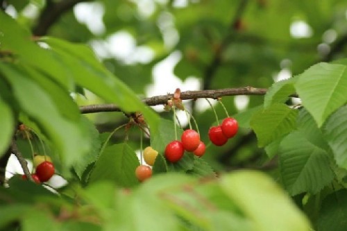
Spray Drones against pests in cherry trees
Cherry is a fruit that ripens early and yields abundantly. However, the trunk, the foliage, flowers and fruits of the cherry trees are often exposed to various pests and diseases. That is why it is important to learn how to defend effectively against these threats. DJI spraying drones can help a great deal in this fight, applying spray drops to the plant in a suitably consistent and dense manner.
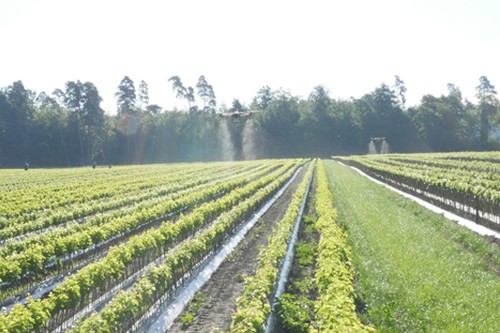
Spraying grapes using DJI spraying drones
Grapes are particularly sensitive in their early growth phase, and the occurrence of a mold disease not only destroys that year’s harvest, but impacts the following years as well. The steep slopes of the vineyards are difficult or impossible to reach using conventional agricultural machinery, while manual spraying is not effective enough and extremely time-consuming. Therefore, in Switzerland, for example, a lot of grapes are already sprayed using drones. It allows farmers to intervene in a timely manner and prevent plant diseases effectively and safely.
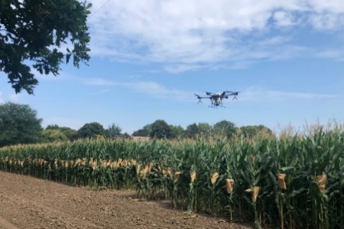
DJI AGRAS spraying drones against corn rootworm
Corn is one of the most common crops in Serbia. Approximately 1 million hectares are sown each year, and the yield is around 6.5-10 tonnes per hectare. The fight against the pests attacking in the late growth stages, such as corn rootworm, used to rely on heavy and expensive machinery, which in addition caused serious trampling damage. With DJI sprayer drones, farmers can now treat crops much more efficiently and cost-effectively, while keeping them protected.
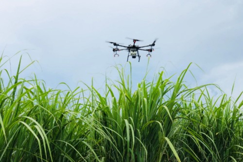
Spraying sugar cane with agricultural drones
The height and density of sugar cane makes it difficult for tractors to apply the necessary pesticides, making the industry highly dependent on airborne application (using airplanes). Moreover, sugar cane is often grown on hillsides, where traditional aerial applications become inaccurate. DJI AGRAS spray drones enable more precise, complete coverage and consistent application even on difficult terrain, making farming more efficient; in this way, the farmer can realize more revenue.
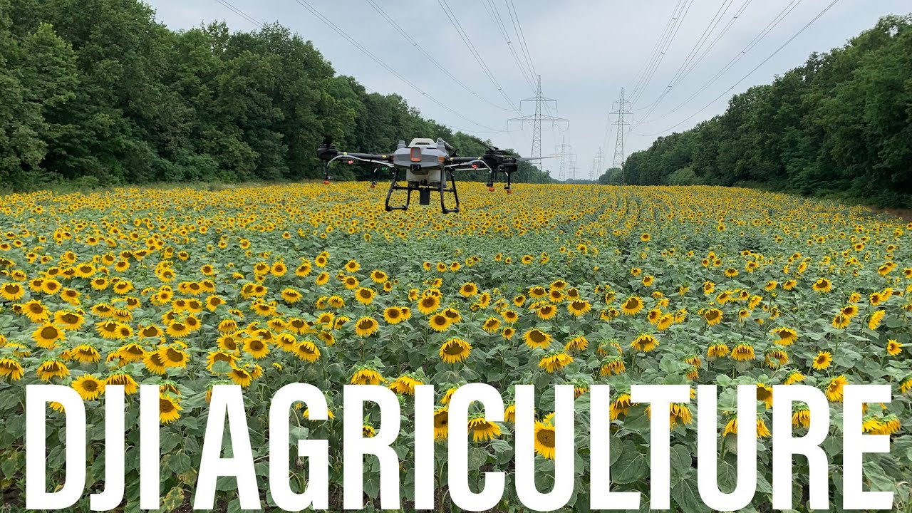
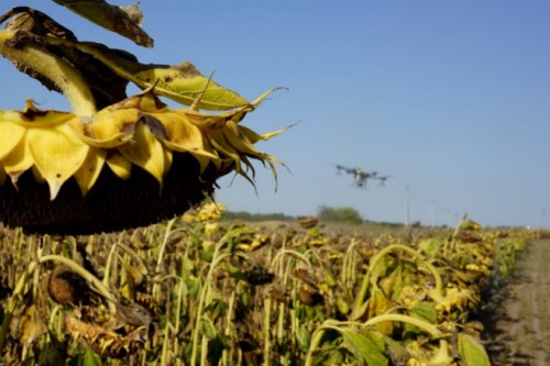
Drone mapping and spraying on sunflower fields
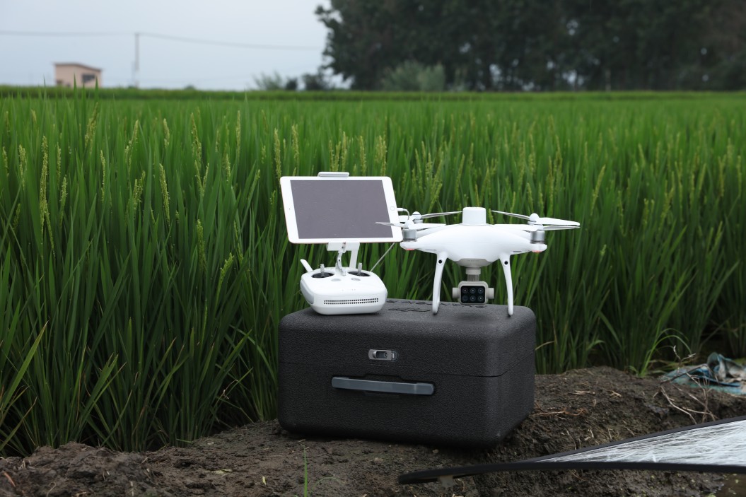
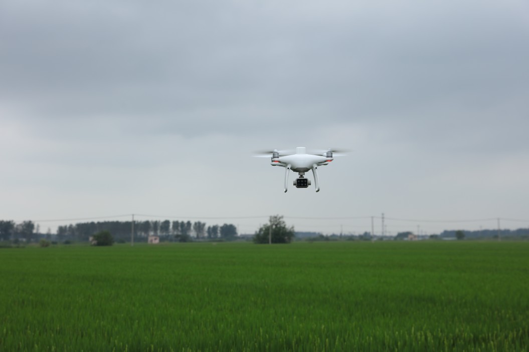
Ukraine is one of the world’s leading sunflower oil producers. DJI drone solutions are already popular in modern farms, as ground application leads to significant trampling, while spraying using airplanes is rather expensive. While the DJI Phantom 4 RTK records the contours and coordinates of the area in centimeters, the DJI AGRAS sprays the plants autonomously, precisely and only as much as necessary. This not only allows a successful fight against diseases, but also allows the sunflower to dry out sufficiently by the time of the harvest.
Protection of sweet potato with DJI spraying drones
Sweet potato has a high and stable yield, adapts widely to drought and other factors, but it has become a popular target for a wide range of pests. DJI AGRAS drones have been deployed in order to avoid insect damage. It helped to get rid of insects faster and more effectively, with less pesticide and more even spraying.
Spraying wheat using agricultural drones
Wheat is one of the most important cereal crops for human nutrition, because it is made into bread flour. In order to increase yields and ensure stable income, it is essential to eradicate weeds and prevent fungus. DJI AGRAS spraying drones offer a fast, accurate and reliable solution for these tasks. Farmers can treat a larger area in a given time than using traditional spraying solutions, all more cost-effectively and without trampling damage.
Digital Tools for Efficient Farming
Agricultural Drone Software

DJI Terra
DJI Terra is an extremely easy-to-use mapping software for Microsoft Windows laptop/desktop computers that enable users to capture, analyze and virtualize their environment.
The software helps drone pilots to design automated flights quickly using various easy-to-use options based on the area or objects to be recorded and the type of map or 3D model to be created. The boundaries, obstacles and calibration points are all marked on the DJI Terra surface. The software stiches together the images captured by the drone from the target area in real time, and converts them into a practical 2D or even 3D map.
DJI SmartFarm
Soon available, DJI SmartFarm is a web-based, cloud-based SaaS (software-as-a-service) agricultural drone platform for farmers and service providers.
From uploading and processing high-resolution or multispectral image data to performing spray operations, you can track everything in one place in real time—anywhere, anytime.
The team-oriented application makes it easy to plan and manage a modern farm, to monitor the condition of farmland, and also to perform work documentation.
Frequently Asked Questions by Farmers
Agricultural Drone Knowledge Base
DJI agricultural drones are already used globally. They have proved to be useful in many fields, with more than 300 crops. These include rice, wheat, corn, sugar cane, banana, potato, peanut, cotton, tea, rose, palm oil, soybean, rape, tobacco, beetroot, watermelon, melon, sunflower, citrus fruits, apple, and pear.
Depending on the natural conditions, spraying drones can save up to 90% of water and 50% of pesticide compared to conventional application.
With the latest DJI AGRAS models, you can cover up to 16 hectares in one hour.
With the latest DJI AGRAS models, you can cover up to 9 meters in width.
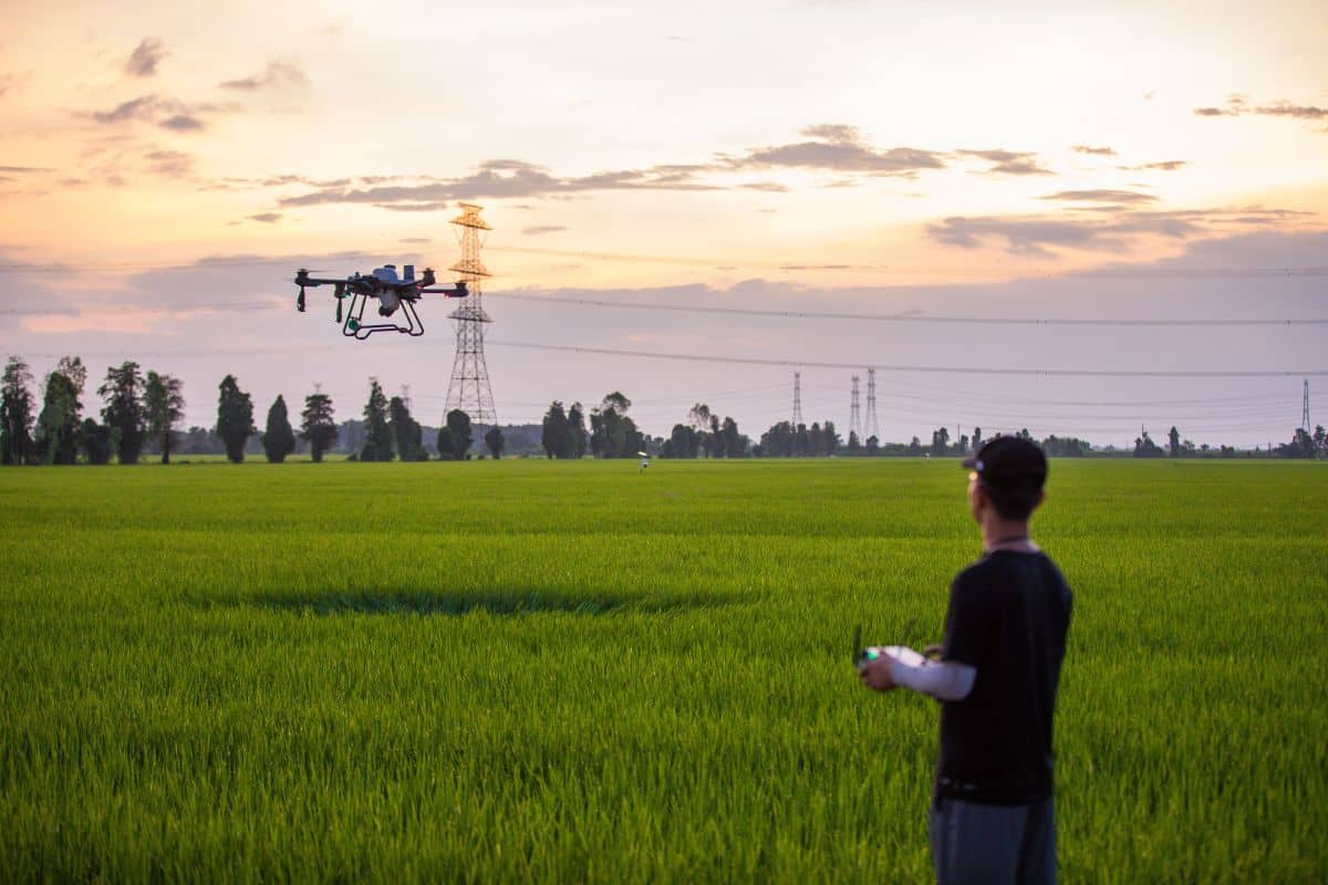
Getting to know the basic operations and the operation of the drone is necessary, but it isn’t complicated at all. In addition, since the desired spray path can be predefined, the drone will only fly along the programmed trajectory, and, thanks to the sensors, it will also avoid obstacles. The operator only needs to monitor the drone.
Yes, of course. After accurate assessments, the spraying drone releases the active ingredient only onto the targeted area, making spot treatment more efficient and environmentally friendly compared to traditional methods.
A normalized vegetation index makes it possible to distinguish soil from vegetation. NDVI gives an insight into chlorophyll activity. The index correlates with the health of the plants and the amount of biomass.
The GNDVI (Green Normalized Difference Vegetation) vegetation index is related to the crop’s growth state, especially during the aging stage. GNDVI also allows us to infer the natural chlorophyll activity of the plants, which correlates with the health of the plants and the amount of biomass.
The NDRE (Normalized Difference Red Edge Index) is a vegetation index used to determine the condition of growing crops. It correlates with the health of the plants and the amount of biomass.
The OSAVI (Optimized Soil Adjusted Vegetation Index) is a soil-adapted vegetation index, which is used to indicate the changes occurring in the canopy due to water stress. This index is best used in areas with relatively sparse vegetation where the soil is visible through the canopy and where NDVI is saturated (high plant density).
LCI (Leaf Chlorophyll Index) is used to monitor the chlorophyll content of leaves and to evaluate the photosynthesis of plants, from which we can practically infer the health of the plants.
The latest news from the world of precision farming
Related News on Agricultural Drones
Beyond the visible: Getting crucial insights for pine tree nursery with DJI Mavic 3 Multispectral and Proofminder AI model
When it comes to running a tree nursery, there are a lot of factors to consider in order to maximize efficiency and yield. Direct field observations and timely insights on tree nurseries will always be essential for tree management to:
Taking Agriculture to the Next Level: The DJI Mavic 3
The world’s leading commercial drone manufacturer, DJI, has released the Mavic 3 Multispectral, its latest and most advanced agricultural drone. This agricultural drone, which will be available soon at our distributors, combines multispectral imaging with DJI’s cutting-edge technologies, is a
Agricultural Drone Industry Insight Report (2021)
I. Industry background (I) From “plant protection drones” to “agricultural drones” As early as 1987, Japan developed the world’s first plant protection drone, selling them in limited quantities the following year. Of the nearly 5 million hectares of arable land